Hiking

Hiking the Chikanishing Trail at Killarney Provincial Park

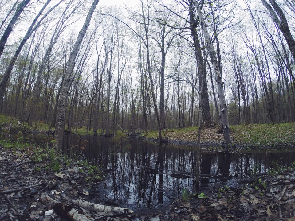
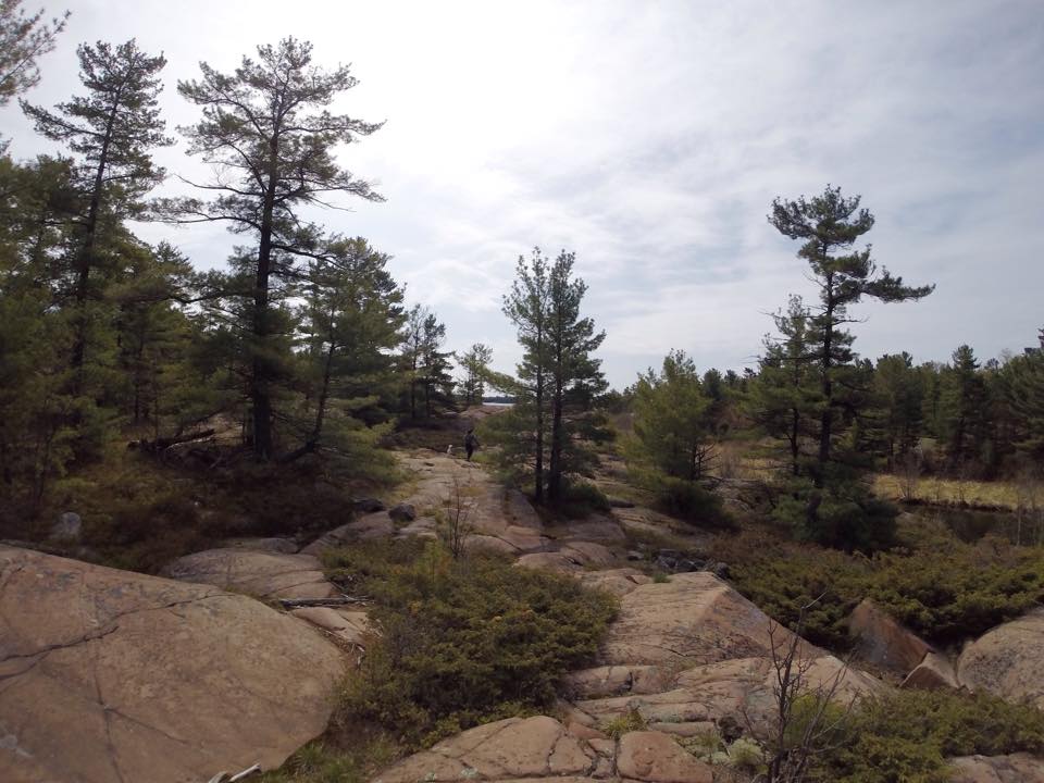
As a short, rugged but very scenic hike, the Chikanishing trail follows the Chikanishing Creek out to Georgian Bay. It passes over a series of small ridges ending up at a beautiful point on Georgian Bay before looping back. Since the trail run across Precambrian Shield granite, the terrain is mainly rocky. 

Let's get started! 

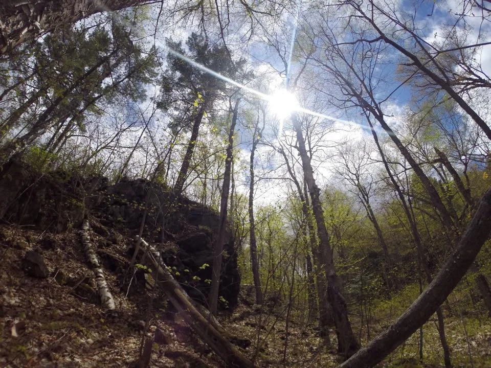
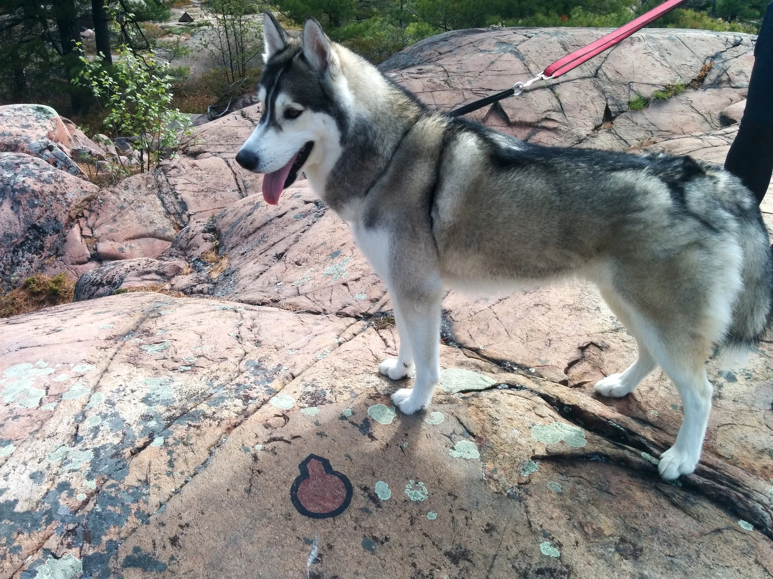
From the parking lot, head towards the trail. Or in other words, start climbing the pink boulders and follow the red markers from here. The trail is very well marked with markers either nailed to trees or painted on the rock surface. So, check the ground as well. In certain areas, just note that some of the markers will be difficult to find. 

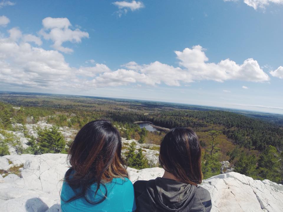
Along the way, you'll come across several breathtaking view points. Some will have interpretive plaques that provide more information about the sights and history of the old logging operations of this part of Georgian Bay.  

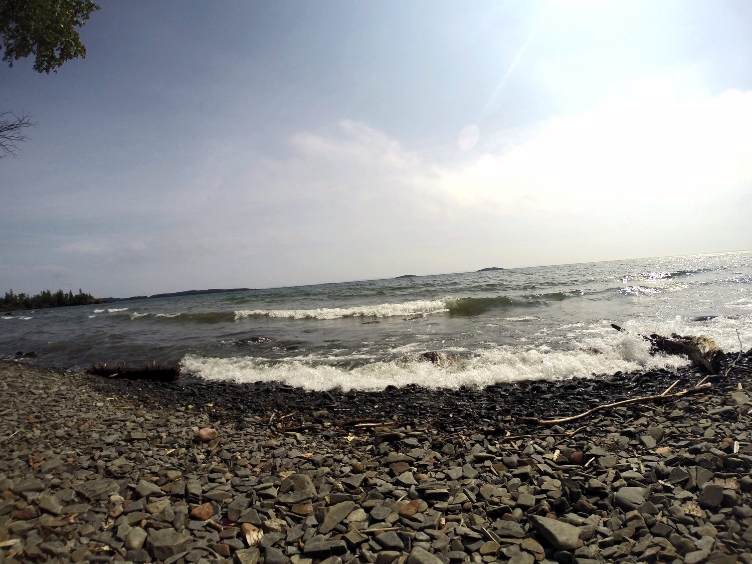
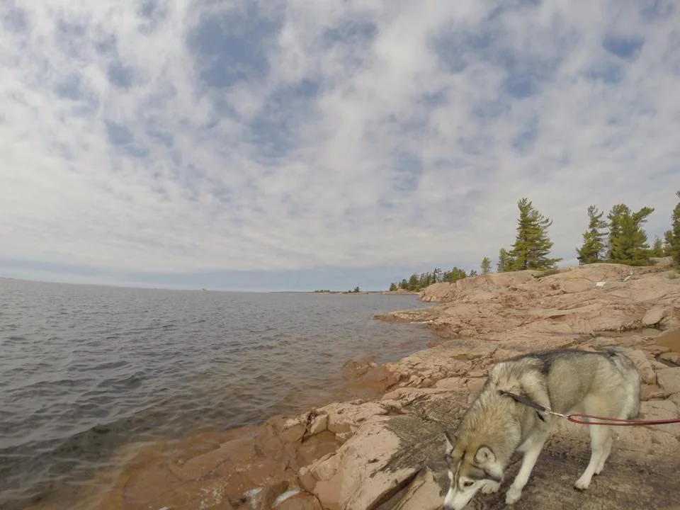
The trail isn't too long nor difficult, but there will be some steep sections. In the middle of the trail, you'll head through a healthy forest with many pine, beech, birch and oak tree. Once you reach the coast of the Georgian Bay, you'll be rewarded with views of small islands and shoals. 

On a hot day, you can jump in for a swim! 

Access: Chikanishing Trail starts at the end of Chikanishing Road, 2 km west of the park office. Limited parking available. 
Length: Approx. 2km Loop Trail 
Time: 1.5 hours
Difficulty: Moderate - Difficult and steep in some sections. 

NOTES

  • In wet conditions, the rock is pretty slippery, so be careful! 
  • The trail is kind of all over the place, so you'll have to search for the trail markers. 
  • Since the trail is near water, there are tons of flies swarming around. Bring bug spray, sunscreen and water! 

Happy Adventuring!

Hiking 'The Crack' at Killarney Provincial Park

From a beautiful panoramic vista and stunning views of pristine lakes, The Crack is a popular day hiking destination. The immense white cliffs of the La Cloche Mountains surround you as you climb up and over the cascade of huge tumbled boulders. Once you reach the top of Killarney Ridge, you'll be treated with incredible views. 

Let's get started! 

The hike starts off of Hwy 637 on an old logging road that joins with the La Cloche Silhouette trail. The trail begins relatively flat where you will come across hardwood and pine forests, logs and creeks. From there, you will continue onto a bridge that takes you across Kakakise Creek and follows the shore of Kakakise Lake. 

Beyond Kakakise Lake, the trail becomes steeper and more rugged as exposed quartzite outcrops and cliffs dominate the area. Be careful climbing over and around the large quartzite blocks that line the base of "The Crack". At the base, there will be large boulders broken away from the rock face that act as "stairs" to reach the ridge top.

After an exhausting climb up, you will be rewarded with magnificent views overlooking lakes, white hills in the park and the coastline of Georgian Bay.

Trail Access: 7 km east of the George Lake Park Office, off Hwy 637. Limited parking available. 
Length: 6 km
Time: 4 Hours
Difficulty: Difficult - steep climbs and difficult sections

NOTES

  • Remember to pack water, snacks and your camera!
  • You must pay at the automated pay station if you are a day use visitor and are not camping (permits must be displayed on the car dash).
  • The boulders can get pretty slippery. Be very careful. 
  • Follow the red trail markers. Once you reach the rugged areas, they're much more difficult to find. However, there will be large piles of rocks to help guide you.
  • Bring tons of bug spray!  

Happy Adventuring! 


Hiking to the Top of the Sleeping Giant

From breathtaking views of Lake Superior to incredible geological features, Sleeping Giant Provincial Park offers an amazing getaway for an outdoor enthusiast. You can find hiking and biking trails, view wildlife in the park's boreal forest and camp under a blanket of stars. With a goal to reach the top of the Sleeping Giant, this challenging hike has a worthwhile view. 

Let's get started! 

Starting at the Kabeyon South Trailhead, hike follows the Kabeyun Trail for 6 kilometres and past Tea Harbour. Continuing up the Talus Lake Trail, follow the signs to the Top of the Giant. Get those legs ready because it's all uphill from here. Once you reach the top, continue another 2 kilometres to reach the scenic lookout with spectacular views of Lake Superior. 

Along the way, you'll see fantastic views of Lake Superior from the top and the bottom, possibly some wildlife and a panic attack when you peer over the edge at the top.

NOTES:

  • The difficult trek is 22.4 kilometres and takes between 6-8 hours to finish. 
  • Elevation gain: 950 feet.
  • The terrain is very rugged and there's tons of uphill and downhill hiking. 
  • Bring water, food, sturdy footwear, sunscreen and bug spray.

Happy Adventuring!