Canada

The Lions Binkert Trail in Vancouver

"The Lions are the two most familiar peaks seen from the city of Vancouver. The view from the Lions is truly spectacular, offering a panoramic view of Howe Sound and the Capilano Watershed down to the city of Vancouver."

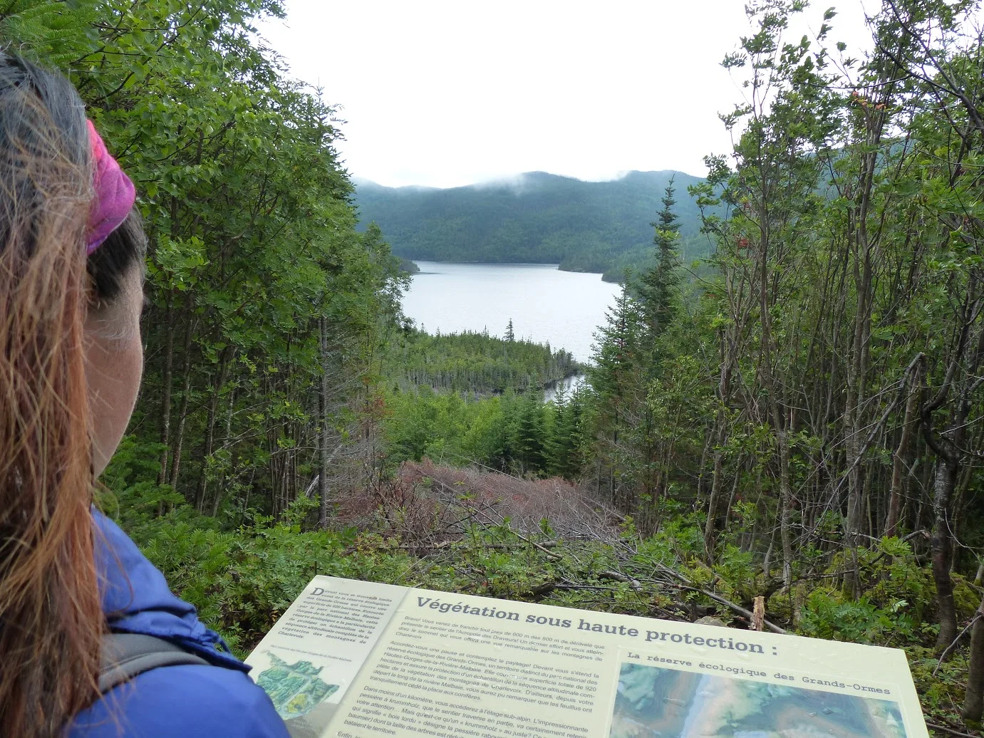
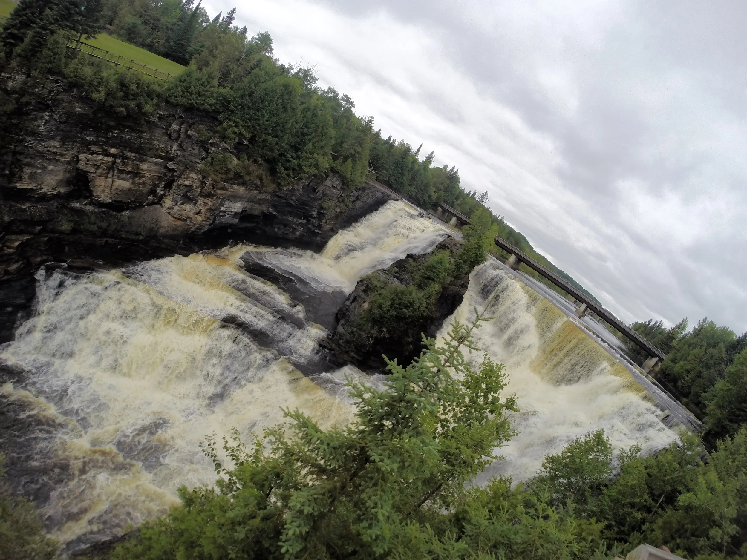
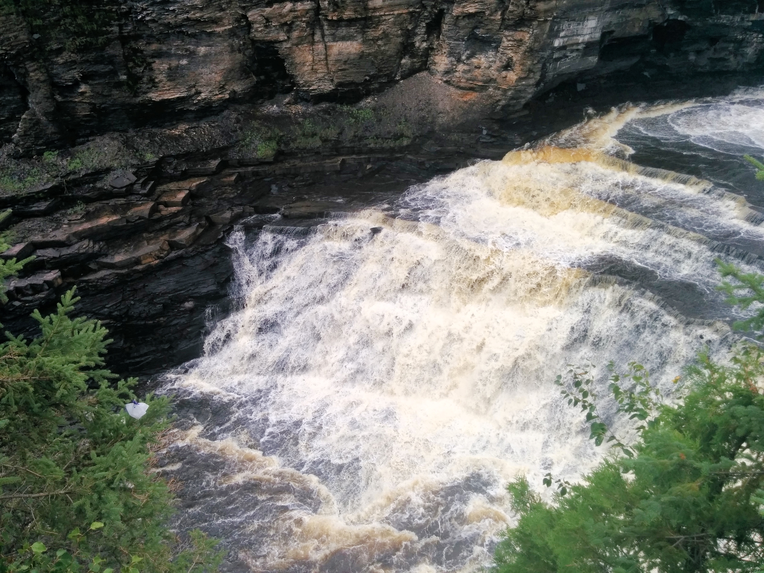
We, of course, didn't see any of that when we did our hike. As always, the rain follows us on every trip we take. 

Let's get started

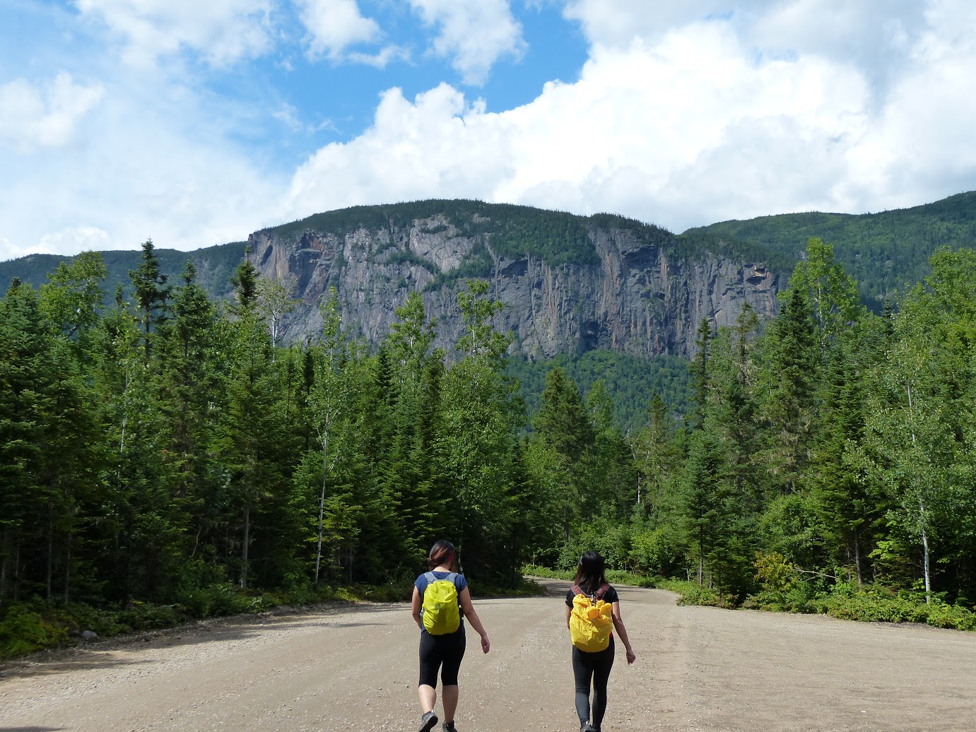
After making a winding drive to the start of the trail, head towards the gates to start your uphill battle. The gravel path will take you uphill for about 30 minutes. It'll be tough, but persevere because the toughest part is still coming up. The next 30 minutes will be easier as the terrain is relatively flat as you wrap around the mountainside. 

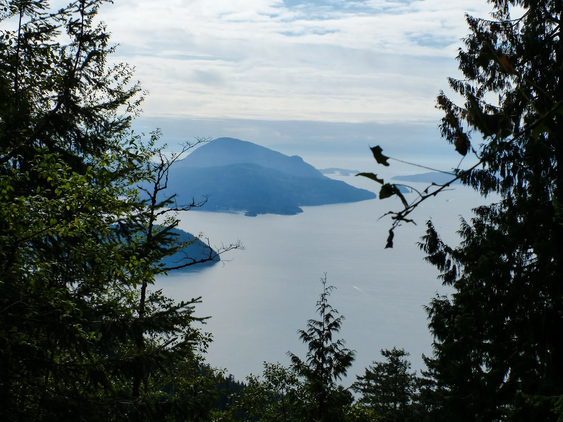
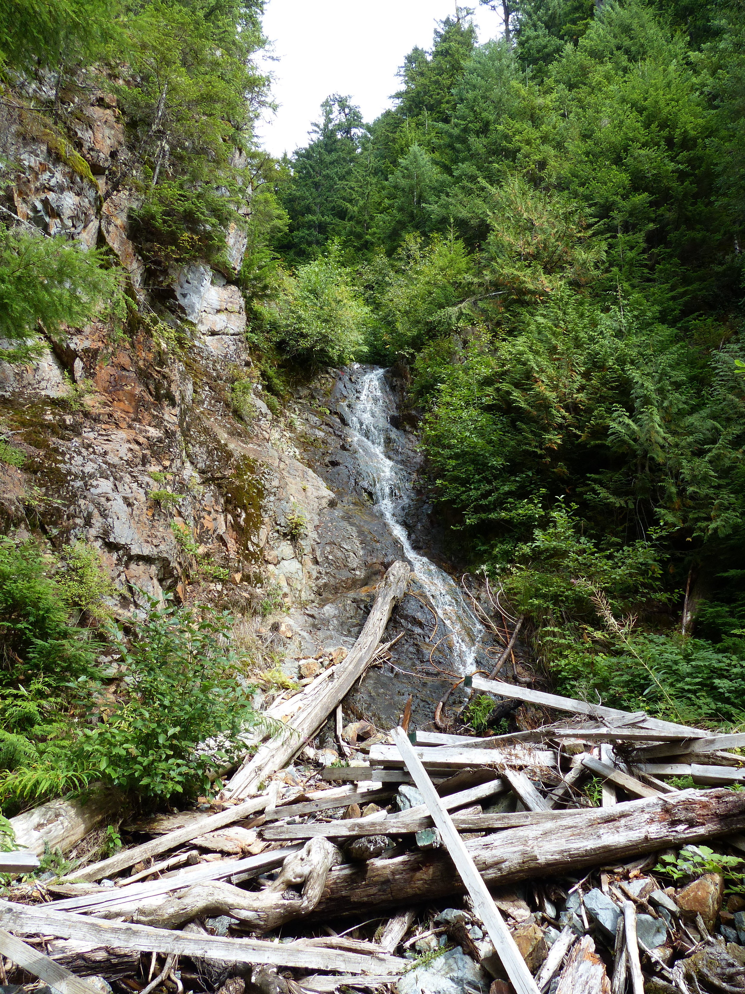
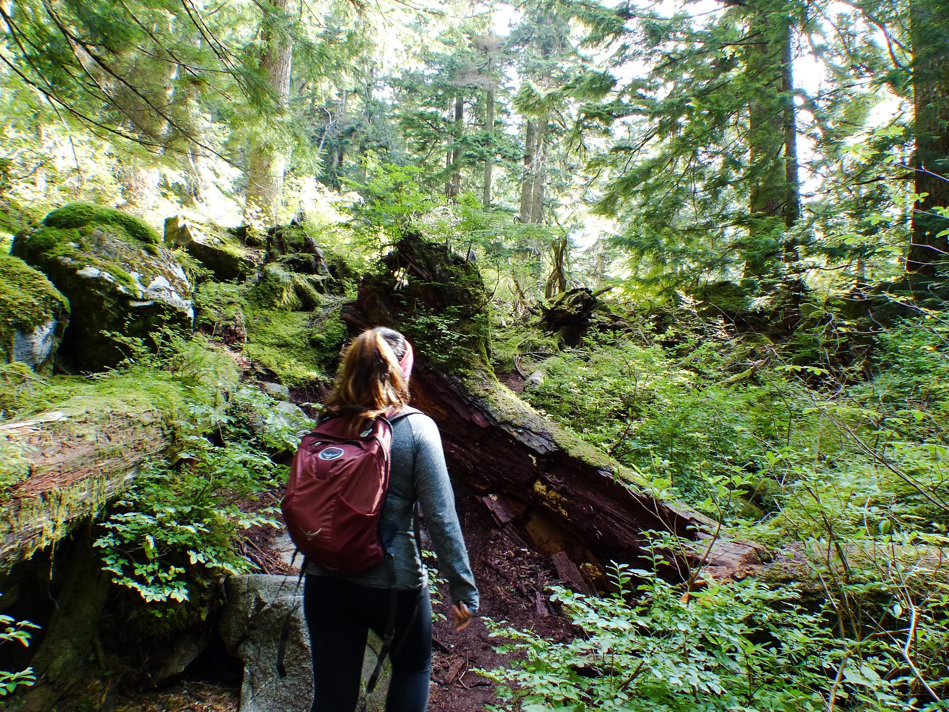
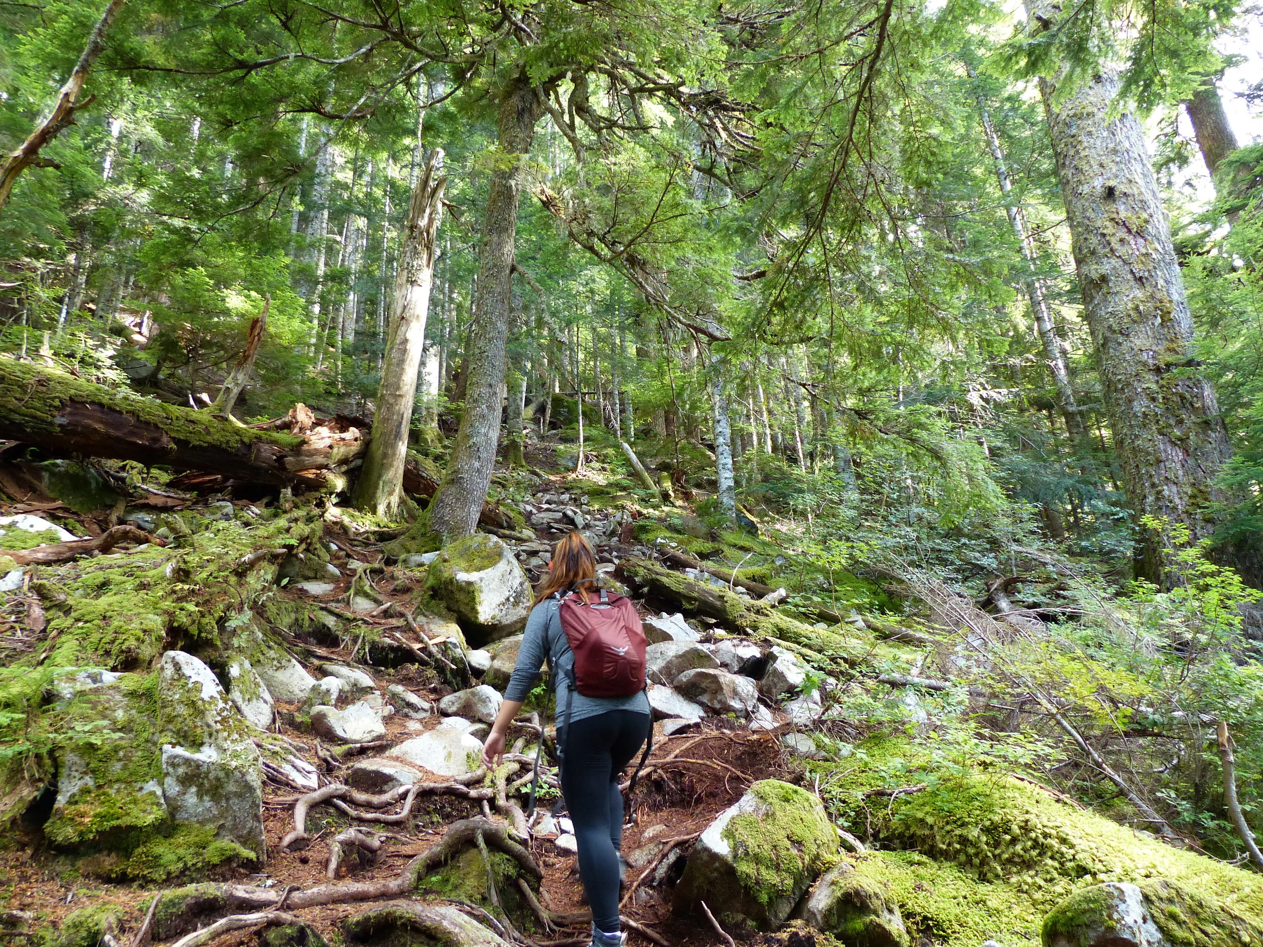
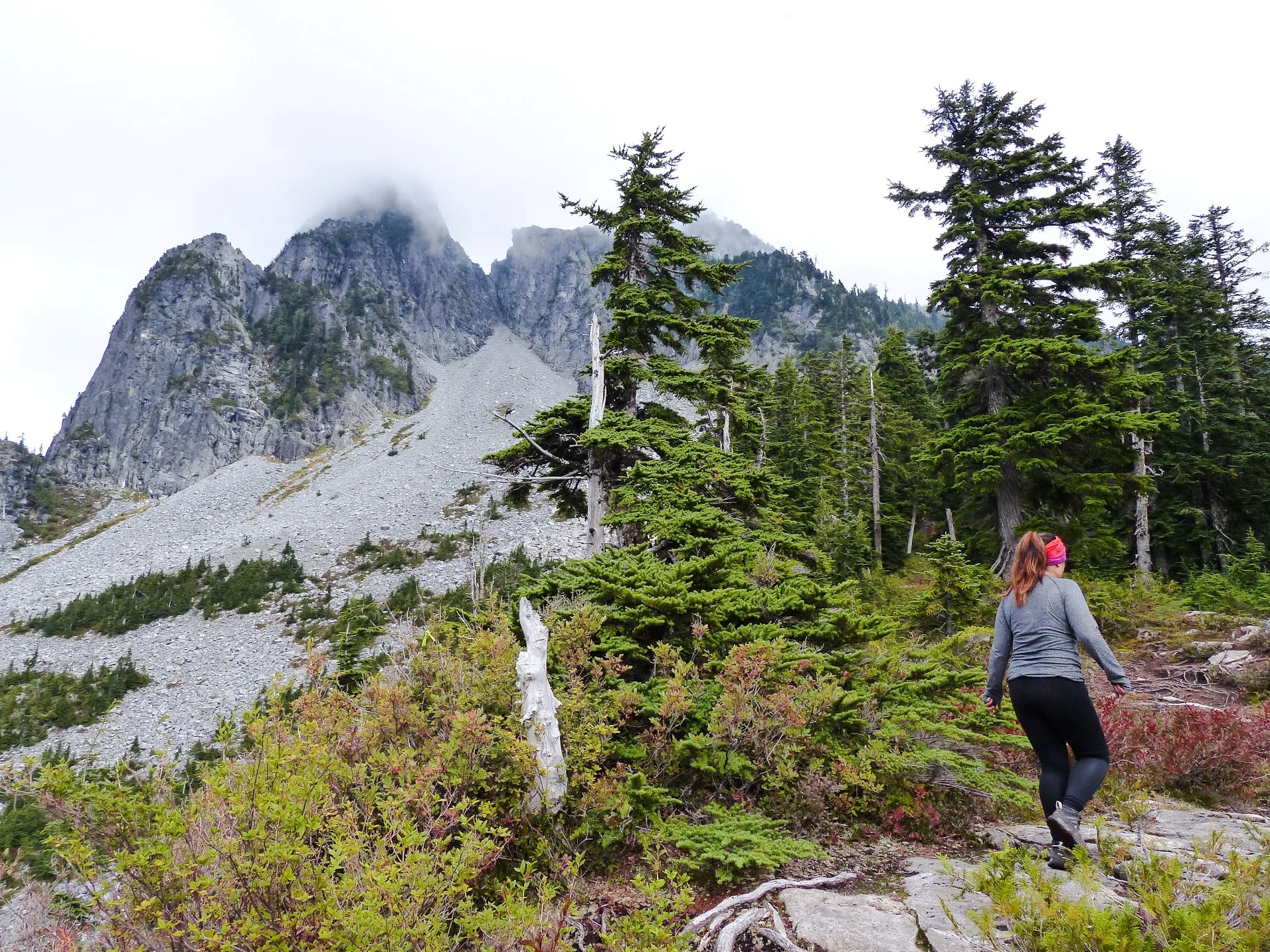
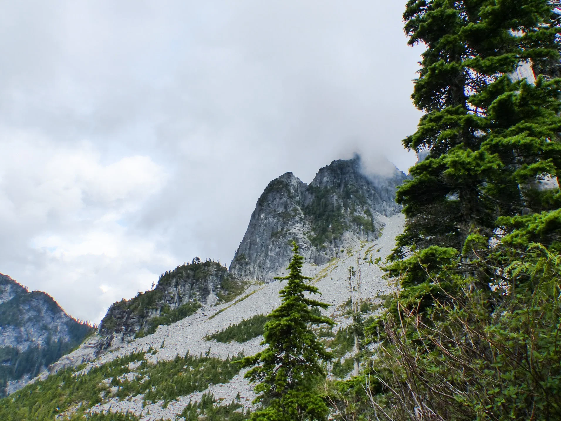
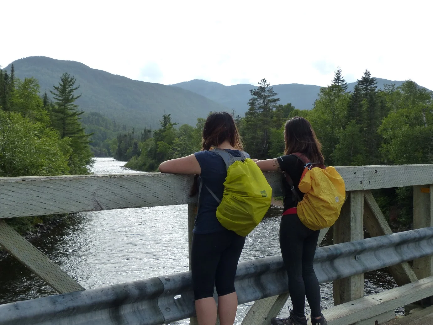
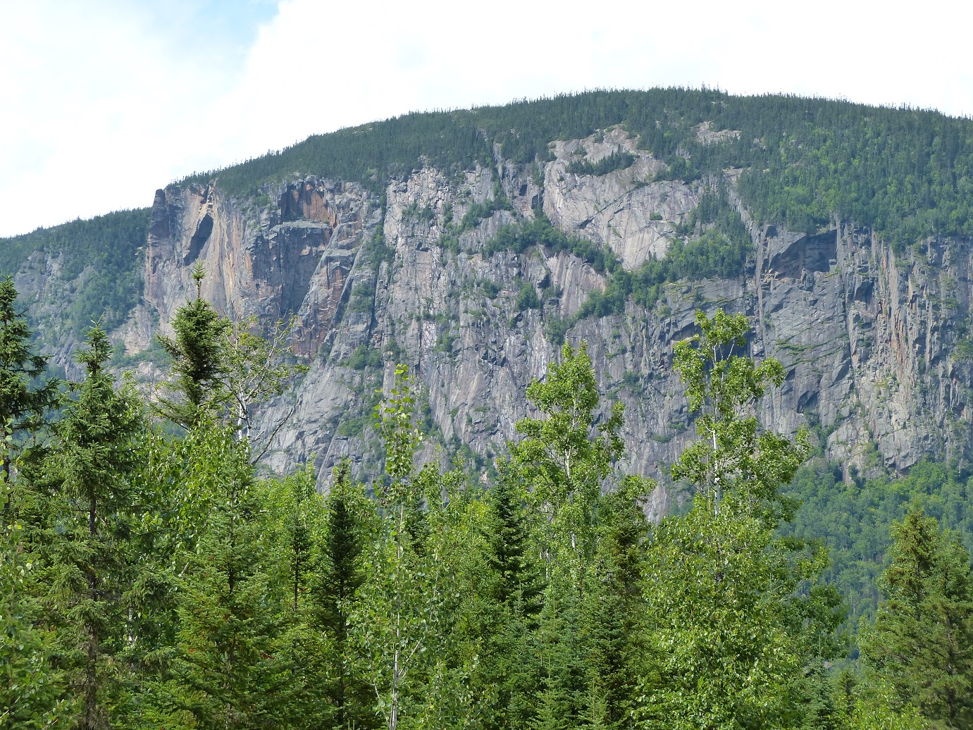
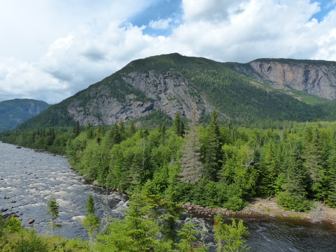
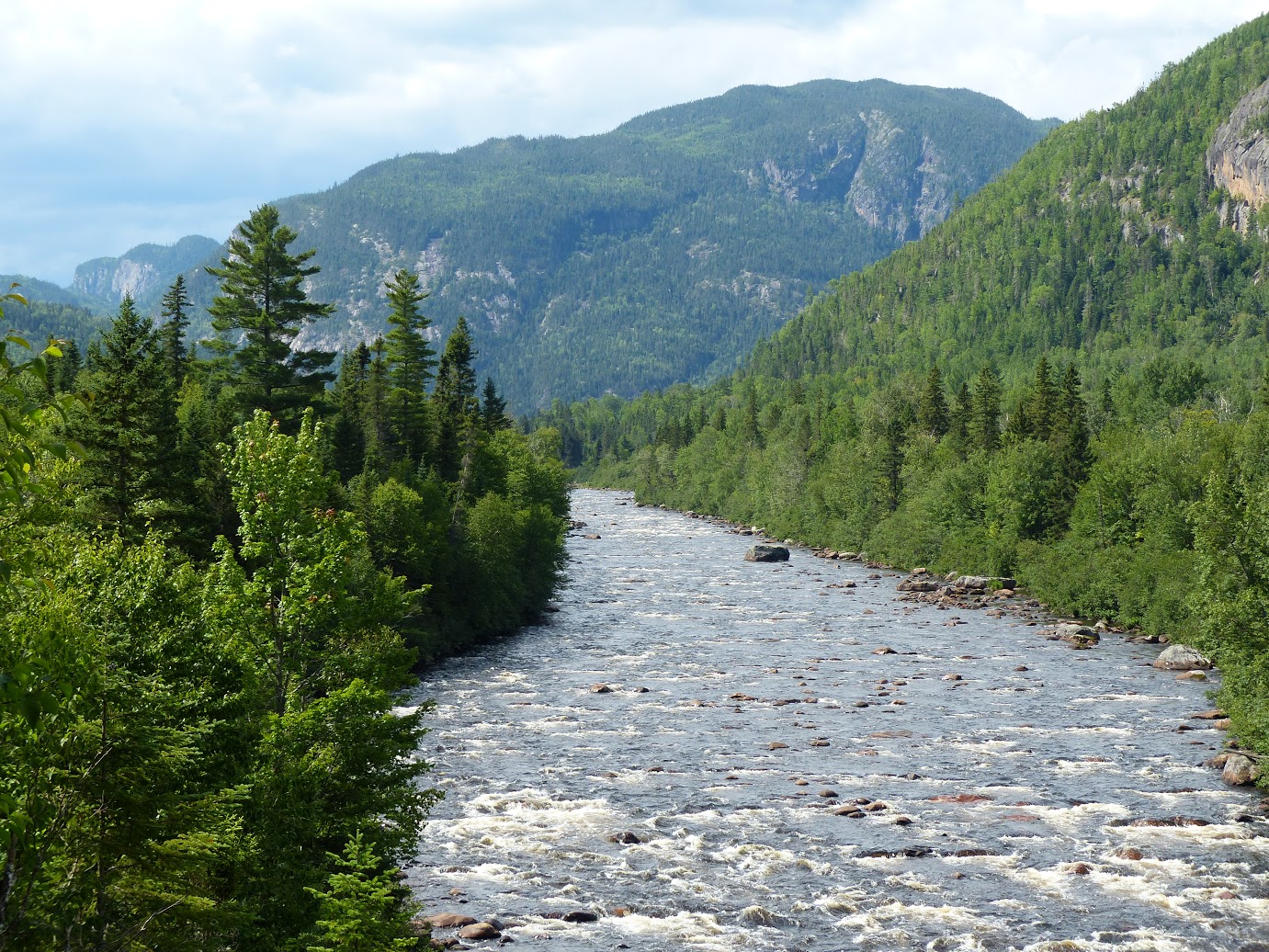
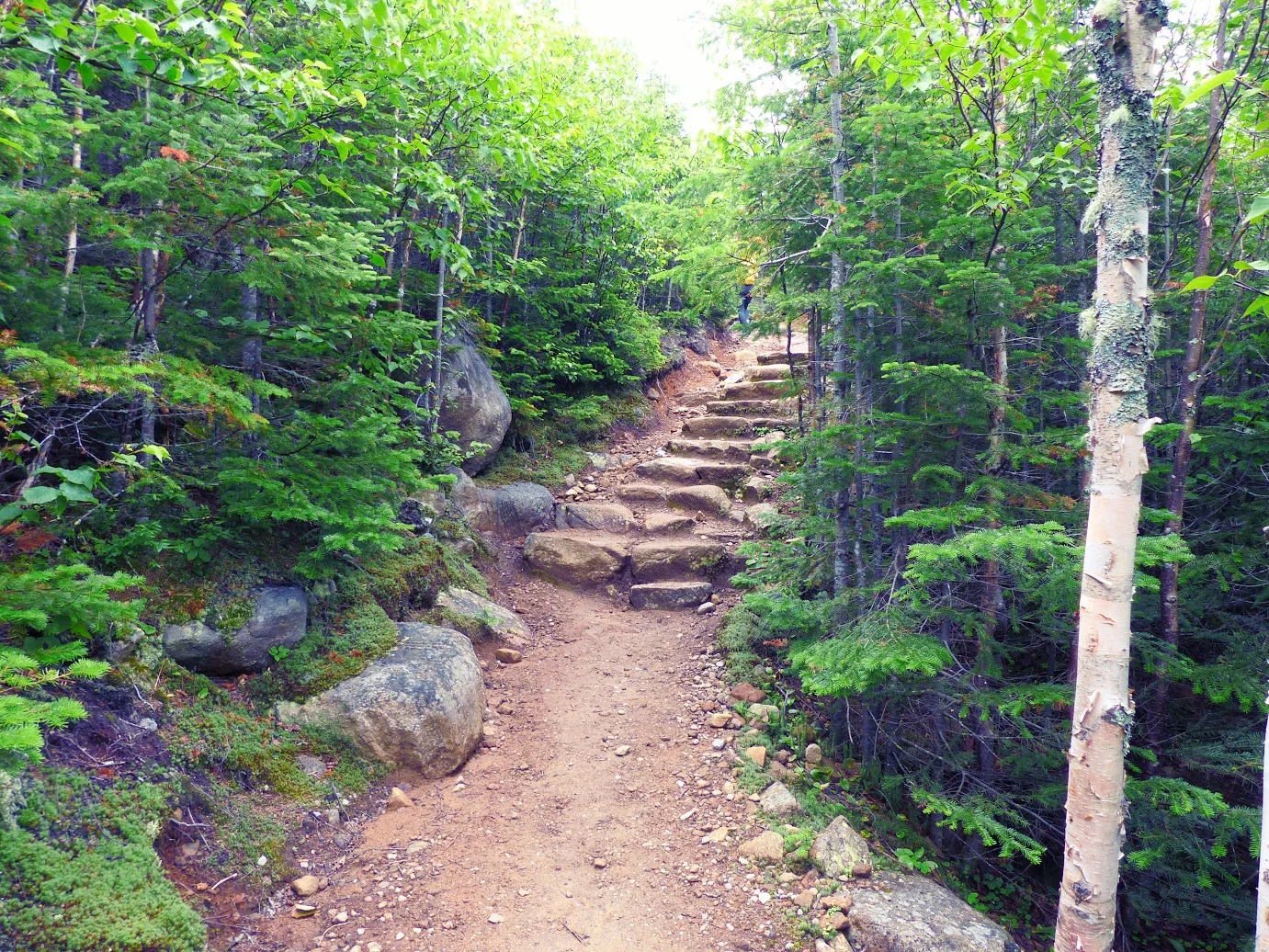
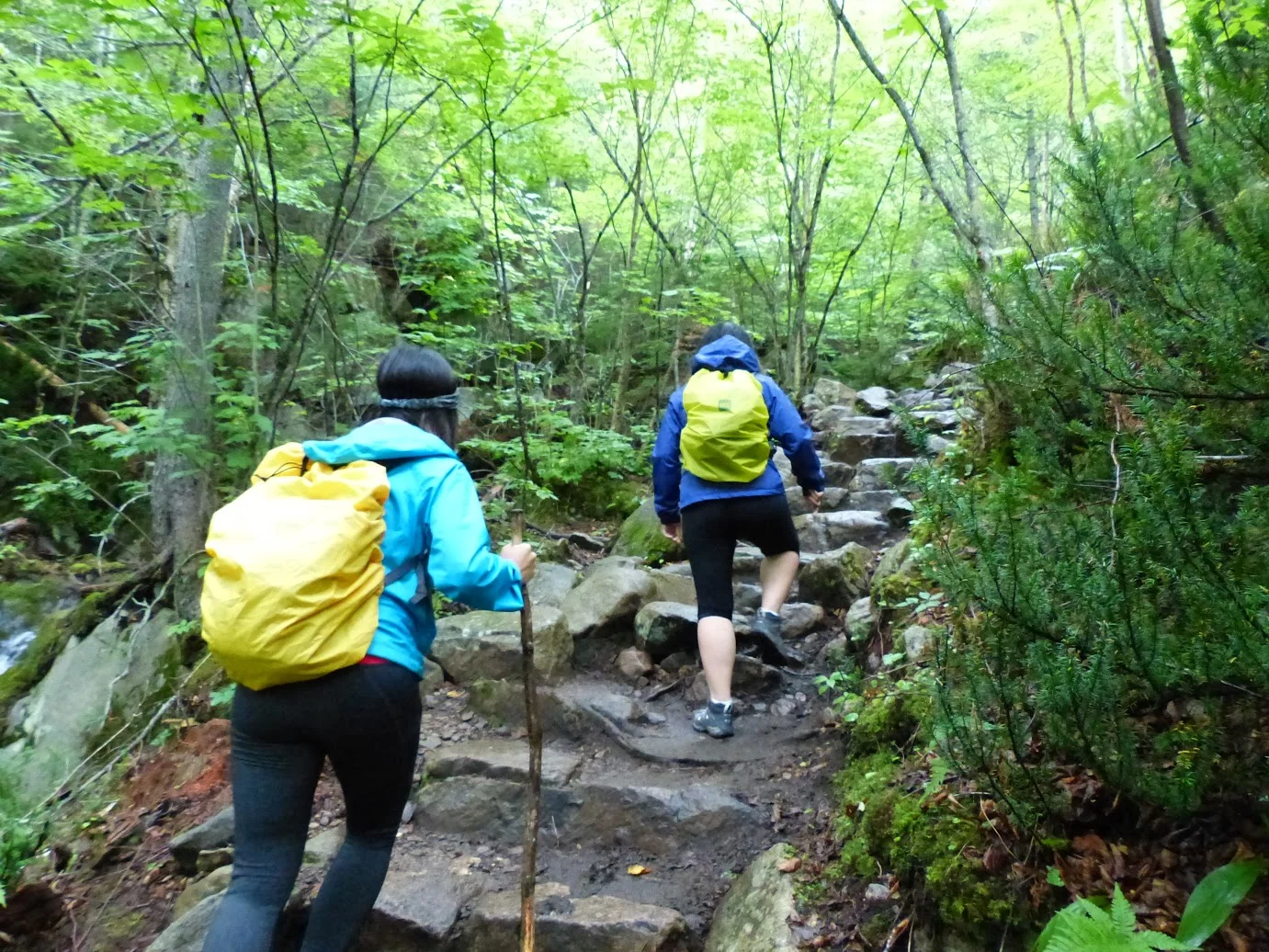
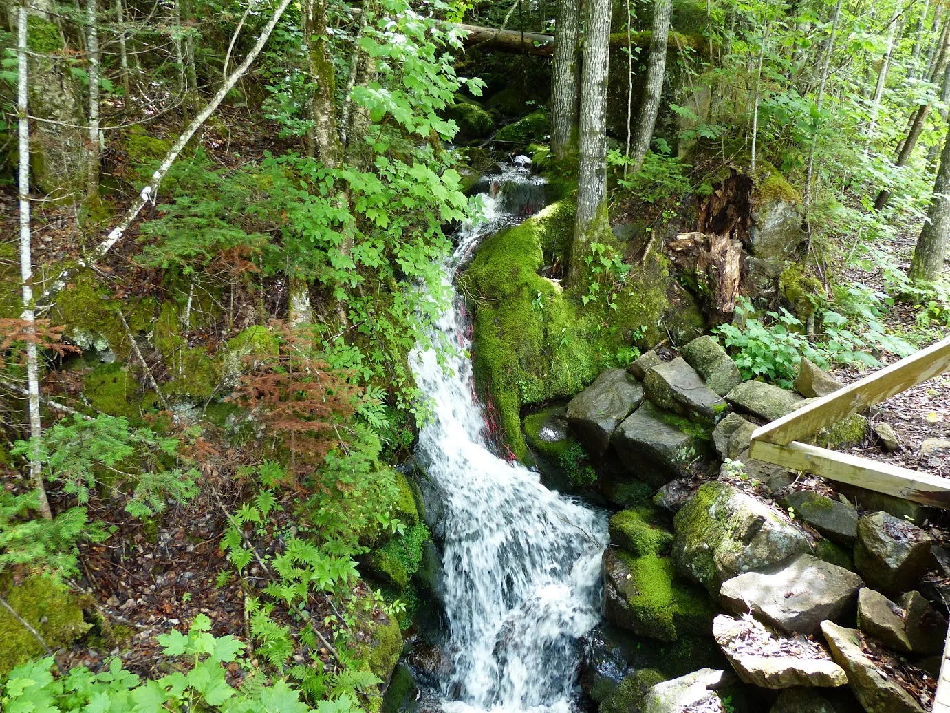
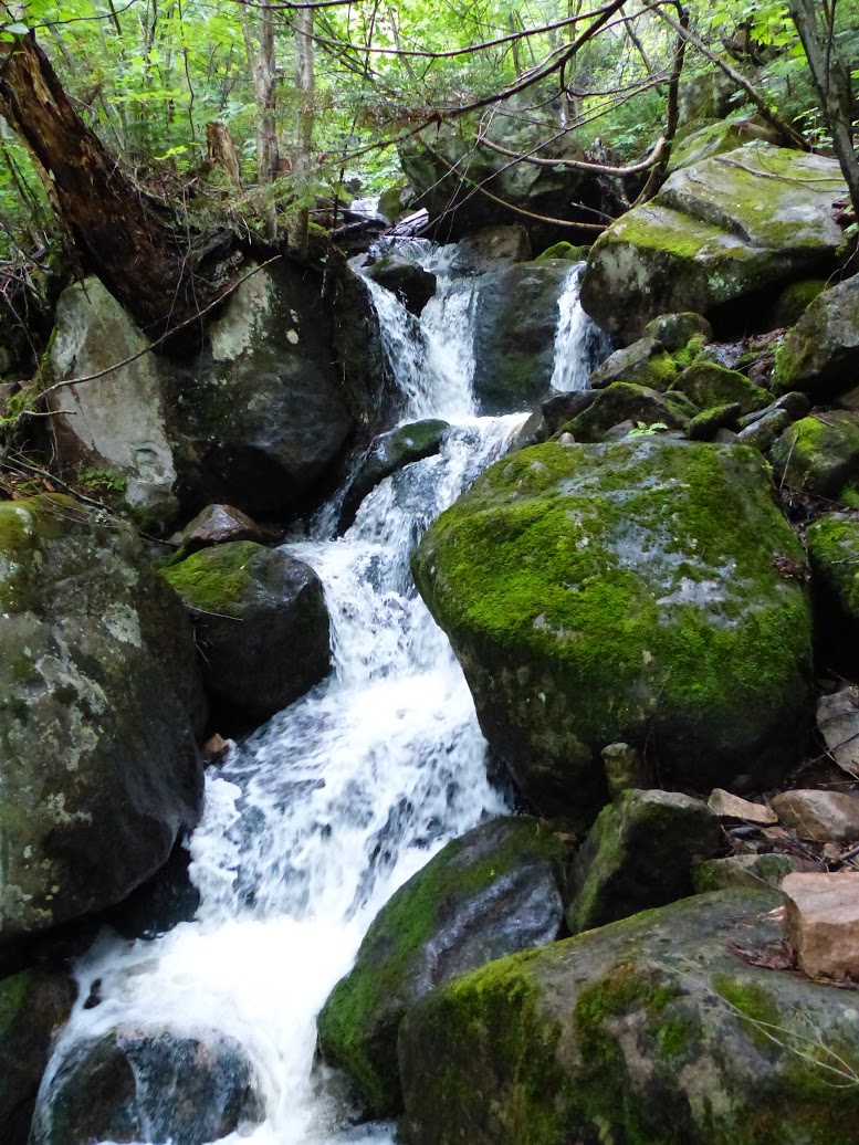
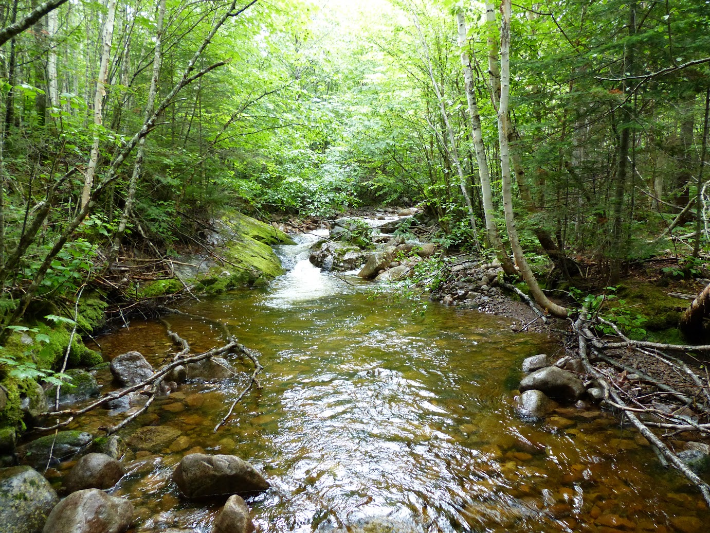
The trail will slowly become more rocky as you progress. You'll cross a short bridge with a beautiful view before reaching a forest. The next hour or so will be the hardest part of the trail as you make your way uphill over the trees and boulders while following the red tags. 

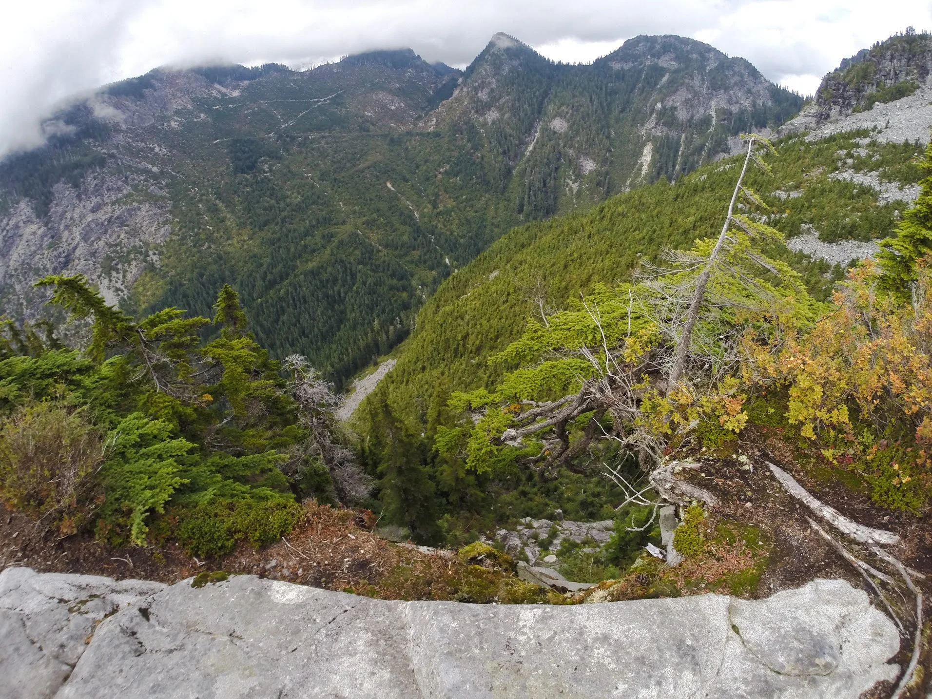
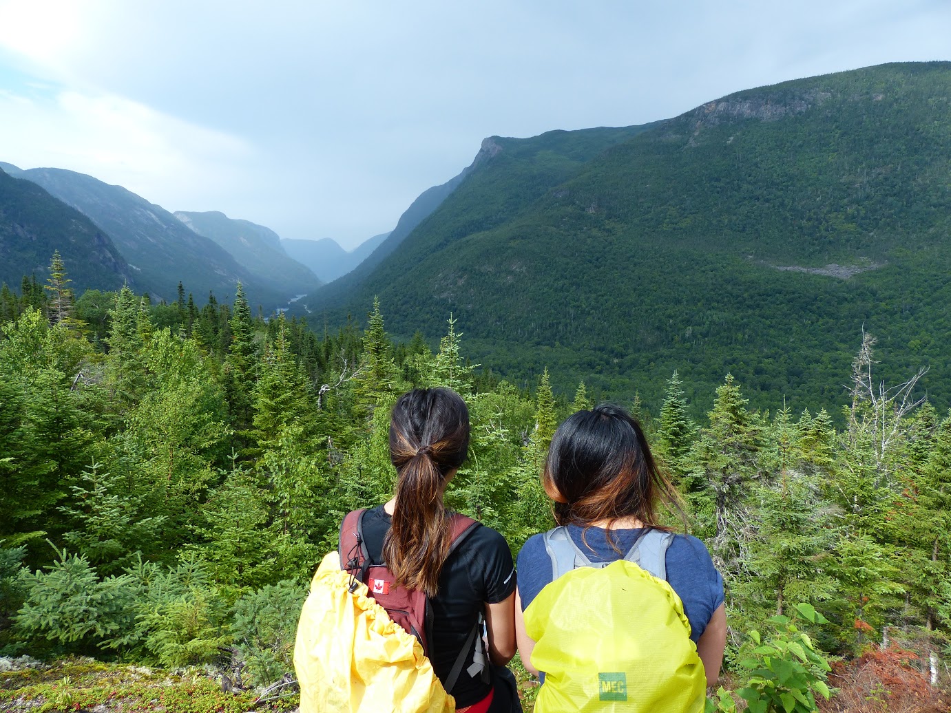
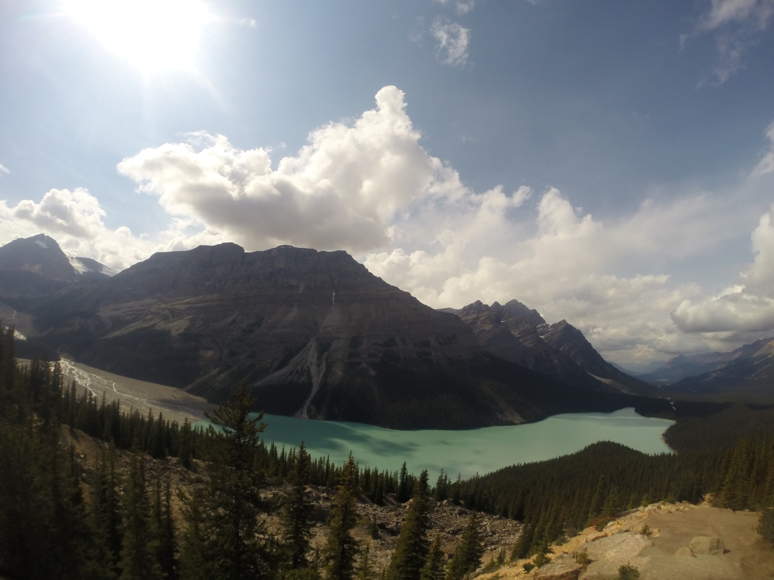
You will eventually reach the first clearing that offers a fantastic view of both Lions's peak. This is where we stopped due to timing. 

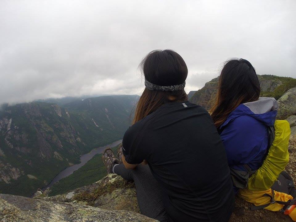
If you continue, you'll enter into the steepest part of the trail, but the reward is worth it! 

Notes:

  • This is a difficult trail. You will need between 6-8 hours to complete the hike. Just to give you an idea, we took 6.5 hours total and we only made it to the first platform. Unless you're very fit, it'll take closer to the 8 hour mark. 

  • Get there early! Parking spaces are VERY limited. There were maybe 3-5 spaces for the trail. DO NOT park illegally because you may get towed. You can park at the side of the streets or at the school. 

  • Plan ahead and pack a lunch, snacks and lot of water. 

  • If you make it to the top, it's an elevation gain of 1280 metres. 

Happy adventuring! 

Hiking through the Mountains in Quebec

From mountains to valleys and lakes to rivers, the National Park of the Hautes-Gorges-de-la-Rivière-Malbaie offers beautiful landscapes on the east side of Canada. 

Let's Get Started:

Le Riverain
Difficulty: Intermediate
Length: 17.4 km (roundtrip)
Time: About 4-5 hours
Height: 170 m

This scenic hike takes you through a forest, along the Malbaie River and finally to a spot that offers gorgeous views of the valley. Sit down, relax and take in the beautiful sights before you head back. 

Le Acropolis des Draveurs
Difficulty: Difficult
Length: 10.4 km (roundtrip)
Time: About 4-6 hours
Height: 800 m

This difficult trail takes you up to three different peaks of mountains! Along the way, you'll see waterfalls, wildlife and flora in an alpine environment. Once you reach the top, you'll have a 360 panorama view of the Malbaie River valley and surrounding mountains. Just keep in mind that it gets pretty windy at the top! 

Notes:

  • The park also offers kayaking, fishing, biking, wildlife viewing, hiking, boating and ice climbing. 
  • On top of camping fees, there will be a daily access fee of $8.50. 
  • There's no parking at the hiking trails, so you will need to take a shuttle to each hiking trail unless you are willing to walk it. The shuttle runs from 8am-7pm daily.
  • No dogs are allowed in the park.
  • Always have your proof of payment on hand while you're in the park. Park rangers will ask you to see it because they've previously had a lot of hikers trespassing. 
  • If you're showering in the park, it costs 25 cents/minute. 
  • It's about a 10.5 hour drive from Toronto or a 5 hour drive from Montreal. 

Happy Adventuring! 

Grasslands National Park in Saskatchewan

From experiencing the wide-open plains to spending a night beneath a canopy of stars, Grasslands National Park protects one of the nation's few remaining areas of undisturbed dry mixed-grass/shortgrass prairie grassland. 

Let's Get Started! 

Located in southern Saskatchewan near the Saskatchewan-Montana border, Grasslands National Park has two separate blocks: East and West Block. The East Block can be accessed near the town of Wood Mountain on Hwy #18 and centres on the Frenchman River Valley. The West Block can be accessed near the village of Val Marie on Hwy #4 and #18 and features the Wood Mountain Uplands. You can check here for better directions. 

Notes: 

  • No entry fee if you're only going during the day. 
  • The park offers astronomy, birding, camping, driving tours, hiking, horseback riding, geocaching, wildlife hunting and many more activities
  • Look out for bison and prairie dogs! 

Let's be real

It was pouring, we got lost driving in our tiny rental car and don't remember how we got there. But hey, we got some nice shots. We actually went back the next day with a friend and saw bison! 

Happy Adventuring! 

Arrowhead Provincial Park: Day Guide

In the heart of Muskoka lies Arrowhead Provincial Park, a great place for an outdoor adventure year round. Head there to hike on the many trails that wind through mature forests or spend the day out on the lake. In the winter, you can cross-country ski, tube down a hill or skate on an outdoor trail. 

Let's get started!

From the Park Store, head straight through the park and past the bridge. There will be a parking lot to your left. Park there if you want to see Stubb's Falls or take the Arrowhead Lake Trail. 

The Stubb's Falls Trail: 2km/Easy/45 minutes

Just past the bridge at Arrowhead Lake, you should see the trail entrance for Stubb's Falls. It runs parallel to the Little East River through a forest. Along the way, you'll come across several different plant and bird species. Once you get to Stubb's Falls, you'll see the river rush down a rock chute before joining the Big East River. 

On a hot day, dip your toes in the water and enjoy the free flowing water. Pack a picnic lunch and relax on the rocks!

Arrowhead Lake Trail: 5.3km/Easy-Moderate/1 hour

We started from the same parking lot, but the trail can be accessed from over a dozen locations with campground roads, parking lots or cross connecting trails. This trail circles Arrowhead Lake and is perfect for hiking or biking. The trail is relatively flat, but there are some areas with steep hills. Along the way, you'll get a few chances for a great view of the lake. 

Big Bend Lookout 

From the Park Store, head straight through the park. It's a little further ways down from the parking lot for Stubb's Falls and Arrowhead Lake Trail. The parking lot will be on the right side. From here, just head towards the observation deck to see Big Bend. 

The panoramic view of Big East River provides an opportunity to see inside of a glacial delta. Look for the horizontal bands on the slope - they represent a different time period of the ancient river. 

Notes:

  • Daily vehicle permit: $14.50 
  • Arrowhead is 7 kilometres north of Huntsville: Hwy 11 Exit 226 to Arrowhead Park Road
  • The park offers hiking, canoeing, swimming, boating, fishing, biking, birding, Natural Heritage Education and winter activities. 
  • Park is open:
    •  May-October for camping, hiking, mountain biking, canoeing and day use.
    • December-March for cross-country skiing, snowshoeing and tubing. 
  • There's a park store for canoe, kayak and mountain bike rentals
  • Don't forget your sunscreen and bug spray! 
  • Head there in the winter for try out their 1.3 km skating trail! 

Happy Adventuring! 

Kakabeka Falls in Thunder Bay

At 40 metres, Kakabeka Falls is the second highest waterfall in Ontario. Located on the Kaministiquia River, the waterfall plunges over sheer cliffs and fossils that are 1.6 million years old - some of the oldest fossils in existence!

Let's set started!

From Thunder Bay, head 32 kilometres west on Highway 11/17 to get to Kakabeka Falls Provincial Park. From the parking lot, you can head towards the boardwalk and platforms for gorgeous views of the falls and gorge. The boardwalk wraps around the top of the falls and across the Kaministiquia River so you can visit both sides.

After checking out the falls, you can head to the Natural Heritage Education Program at the Visitor Centre to learn more about the park. 

Notes:

  • Kakabeka Falls is open all year round. 
  • If you're just visiting the falls, the walk-in fee is $2 for adults and $1 for students (age 6-17).
  • Due to fragile rock, you won't be able to see the falls from the bottom. 
  • The park also offers camping, hiking trails, a small beach for swimming, paved roads for biking, cross-country skiing and picnicking facilities.

Happy Adventuring!