On a warm afternoon, we decided to go on a short hike at Silver Creek Conservation Area.
What we Did
We parked at the side of the road and headed over to the information board with the map. As a heads up, we didn't find this map too helpful since it didn't highlight what the trails were or how long they were. To avoid our mistake, make sure to check out the online map before you begin. We decided to follow the Bruce Trail for maybe an hour before it got too muddy for us to continue.
Even though we didn't stay long, we really enjoyed the hike. There are so many side trails to choose from. Whether you're looking to do something shorter or longer, you can customize the hike to your liking.
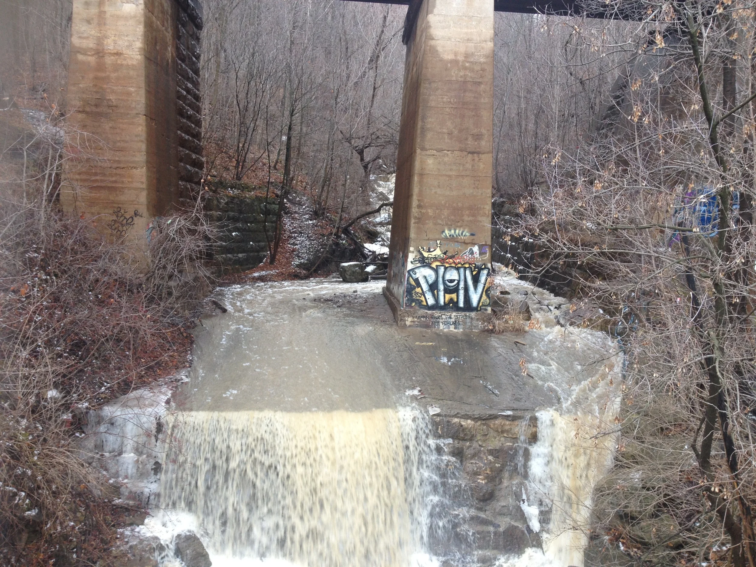
From photos we've seen online, there's a waterfall somewhere in this conservation area. If you know which trail it's on, let us know and we'll go back to hike it!
Notes
- Location: Vehicle access from Town of Halton Hills 9th Line and Fallbrook Trail (27th Sideroad) L7G 4S8. Or you can just Google Maps it.
- Hours: Sunrise to sunset.
- Parking fee: There's a donation box at the main kiosk of 9th Line.
- Trails: There are six trails you can hike here. I would check the map before you head out. The map at the entrance wasn't too clear.
- Difficulty: Moderate - It didn't seem too difficult, but we also didn't make it to all of the trails.
- Time: This is entirely up to you. There are so many hiking trails that you can spend one hour or a whole day there.
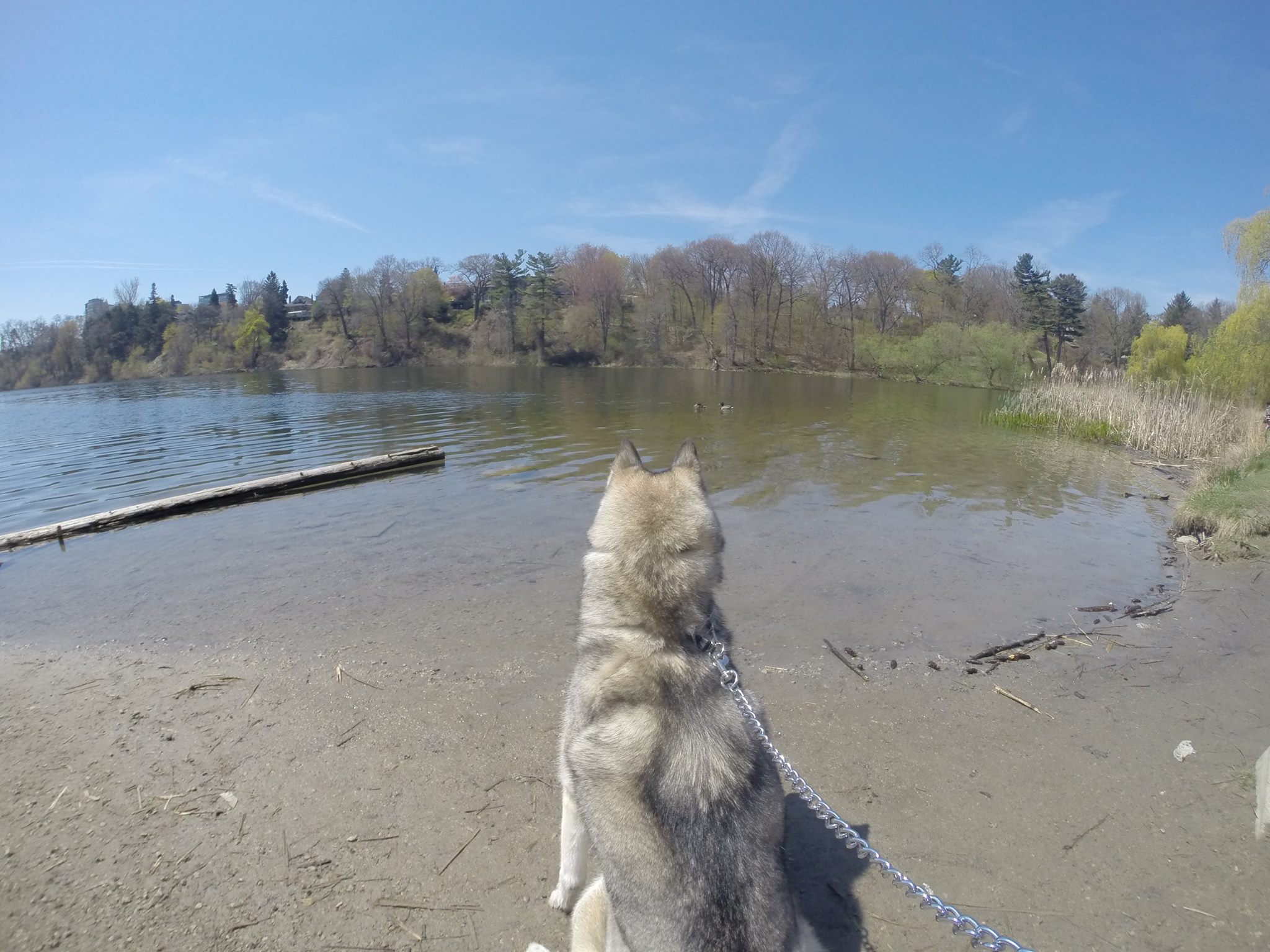
- Dogs: Dogs are allowed but you must keep them leashed.