Hamilton

Upper, Middle and Lower Sydenham Falls in Hamilton

Up for short hike? You can see Upper, Middle and Lower Sydenham Falls in 30 minutes!

Let's Get Started

Park at Cascades Park and head up the gravel path. From the bridge, you can see Lower Sydenham Falls here. Don't fully cross the bridge, and head back to the left side of the stream. Head up the trail from here. 

Follow the trail

Check out the bridge before continuing the trail to the left

Lower Sydenham Falls

Lower Sydenham Falls

Keep left at the fork 

About half up, you'll see a small path on your right side that leads downhill. If you choose to, you can take this path down to Middle Sydenham Falls. 

Middle Sydenham Falls

Go back up to continue on the trail. You'll see a small set of stairs. At the top, take a right and continue on the trail. The trail will take you by the stream. Keep following it and you'll reach Upper Sydenham Falls

Upper Sydenham Falls from the base

Notes:

  • You can park on Livingstone Drive beside Cascades Park for free.
  • This hike takes only 30 minutes round-trip. 
  • Take a stroll across the bridge to the other side, the graffiti is actually kind of cool.

Happy Adventuring!

Webster's Falls, Tews Falls and Dundas Peak in Hamilton

Spencer Gorge/Webster's Falls Conservation Area is home to one of the most popular waterfalls in the Hamilton area. The park offers beautiful views of the forested depths of the gorge below and has washroom facilities, picnic tables and sheltered areas. The area is actually really nice with a cobblestone footbridge that crosses over Spencer Creek. 

At the Conservation Area, there's also a hiking trail to Dundas Peak, that overlooks Dundas and Hamilton. If you take the hiking trail, you'll see lookouts for Tews Falls, a 41-metre waterfall. So this visit is a 3-in-1 deal! 

Webster's Falls

If you park at Webster's Falls, all you need to do is walk across the field to get to the waterfall. You'll know which way to walk towards when you hear the rushing water or the crowds of people. You'll only be able to get a view from the top of the waterfall. The area will be fenced off for safety reasons. Hang out on the benches to enjoy the scenery or hike one of the trails in the area!  

If you park at Tews Falls, you'll need to hike towards Webster's Falls. Keep an eye out for signs pointing out Webster's Falls. It shouldn't take more than 30 minutes to get there. You know you're close when you hike past a beautiful home. 

Webster's Falls

Tews Falls and Dundas Peak

So, same idea as above. It all depends where you parked. 

If you parked at Webster's Falls, you'll need to head back towards the parking lot. The trail starts on the opposite side of the parking lot entrance. Does that make sense? If you see trees and a trail, you're on the right track. 

You'll see the trail going left or right. You'll want to turn left here because the trail going right leads to a dead end. If you continue down this trail, you'll hike past a beautiful home, several lookouts for Tews Falls and then finally, you'll reach Dundas Peak

Okay, so if you parked at Tews Falls, you're inbetween Webster's Falls and Dundas Peak. You'll start with the lookouts for Tews Falls. Continue down the trail and you'll reach Dundas Peak. If you walk past the beautiful home, you're going the wrong way. 

Once you reach Dundas Peak, enjoy the view! If you're daring enough, take a photo with your legs hanging over the edge. 

Tews Falls

Tews Falls

Dundas Peak


More Information: 

  • Entrance fee: There's an entrance fee of $5/person. Children under 5 are free. 
  • Parking: There's a parking fee of $10/car. There are two parking lots - one at Webster's Falls and one at Tews Falls. The main one is at Tew's Falls (607 Harvest Rd, Dundas, ON L9H 5K7). Don't park on the side of the road, since you'll be ticketed and towed. 
  • Time: It takes 1 - 1.5 hours to finish it completely. 
  • Best time to visit? Our favourite time to visit was during the fall since you see an array of colours looking down from Dundas Peak. 
  • The stairs to get to the bottom are officially taken down. There's no safe way to get to the base. Instead, if you want to visit the bottom of a waterfall, try Devil's Punchbowl.
  • There's a shuttle service that will now run between a large parking area just outside Dundas and Spencer Gorge/Webster Falls Conservation Area. 

Happy Adventuring! 

Devil's Punch Bowl Falls in Hamilton

Devil's Punch Bowl Falls is a unique waterfall located on the Niagara Escarpment in Stoney Creek, Ontario. Known for its distinctive horseshoe multi-coloured cliff, it offers an absolutely breathtaking view.

Let's get started! 

Before you start the hike, you can explore the area to see the view of the falls from the top. You'll also see a 10-metre high cross that overlooks the community. 

When you're ready, head towards the bench where you'll see a side trail marker. The trail will take you down a zig-zag path down a steep incline until you reach the bottom of the escarpment. Turn left and continue following the trail. Along the way, you'll find wooden stairs that take you down towards the river. 

From here, the goal is to take the main trail upstream until you reach the Lower Falls. There's a bunch of side trails that will take you on more difficult paths that I probably wouldn't try again. Climb up past the Lower Falls and keep following the trail. When you get closer to Devil's Punch Bowl Falls, follow the trails that are closer to the river because I noticed that some trails head uphill and away from the falls. 

You'll reach a point where the trail leads you down to the river. Use the tree roots to climb down onto the riverbed. Now head upstream towards Devil's Punch Bowl Falls and you'll be rewarded with an amazing view of the falls.

NOTES: 

  • The hike takes about 30 min - 1 hour depending how fast you move. 
  • There's a free parking lot at Ridge Road west of Centennial Parkway S. 
  • This hike is ideal during dryer weather because you'll need to hike along the riverbed to make it to the falls. If the water flow is too heavy, you won't be able to reach it. Also, mud makes everything slippery, especially the beginning of the hike. 
  • Be careful on the hike because some parts have a narrow path with a cliff beside it. 
  • Try going in the winter to see a frozen waterfall!

Happy Adventuring! 

Chedoke Falls and Denlow Falls in Hamilton

Interested in an adventure? You can hike to Chedoke Falls to see some amazing waterfalls. The backcountry hike has no actual trail which makes it an interesting challenge. Although, there's a good chance your shoes will get wet. 

Let's get started!

Located in Hamilton, Ontario, the trail starts at the Chedoke Civic Golf Club. From the parking lot, take the Chedoke Radical Trail (Bruce Trail) up to the ravine. Take a right at the 'push up' signs and continue hiking the trail for a few minutes. When you see the river, climb down to the bottom and start hiking up the river bed. 

From here, it's pretty much a 'choose your own adventure.' There's no marked trail, so you need to hike however you feel is safe. It's very rocky, challenging and dangerous, so be very careful. We kept crossing the river back and forth depending on which side had more land to hike on. This is how you get wet.

Along the way, you'll see the Lower Chedoke Falls. Climb to the top of the falls (on the right) and keep following the river upstream. You'll end up reaching Denlow Falls and finally Chedoke Falls. Take a walk behind the falls, it's quite the experience! 

Notes:

  • It took us around 2-2.5 hours to hike, which included us getting lost and stopping for pictures. 
  • There's no parking fee. 
  • You'll probably get wet unless you're good at crossing rivers.
  • Some parts can get pretty steep. You'll need to use the tree roots to climb some parts.

Happy Adventuring! 

Albion Falls in Hamilton

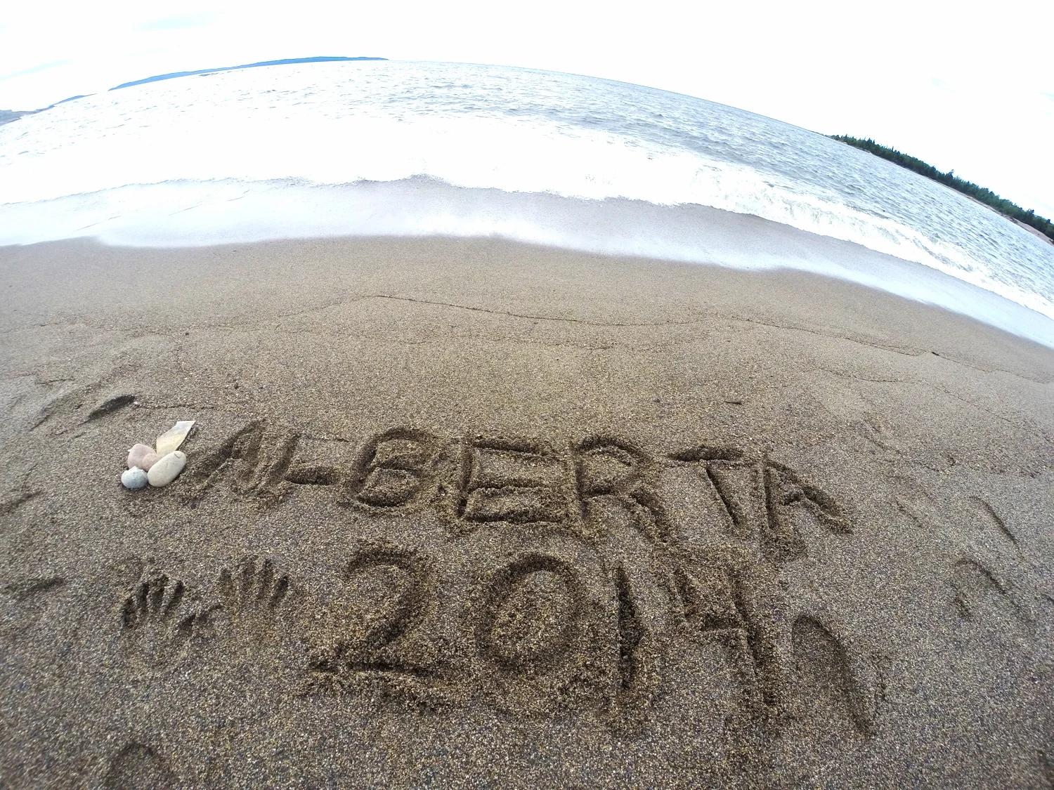
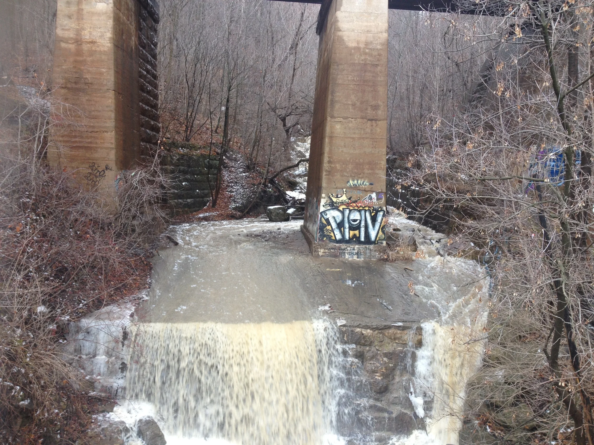
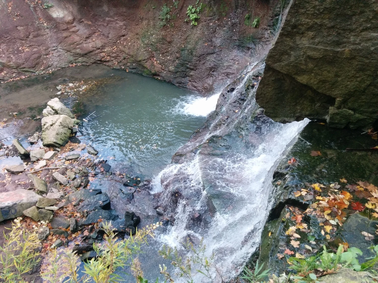
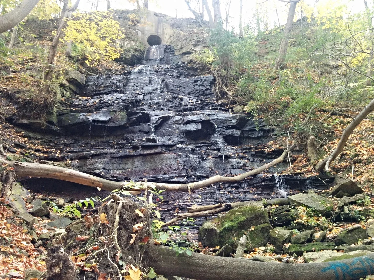
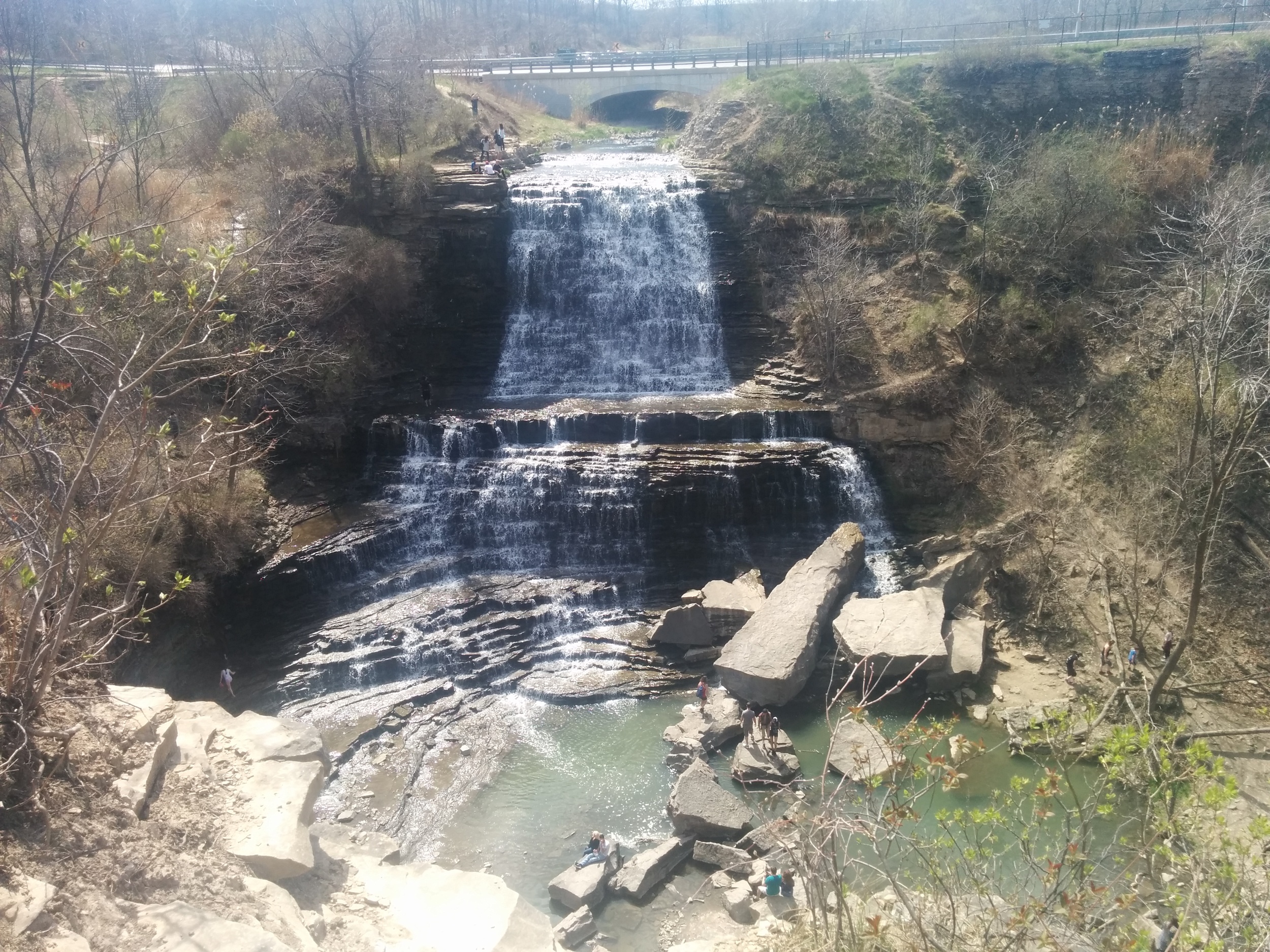
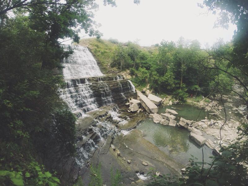
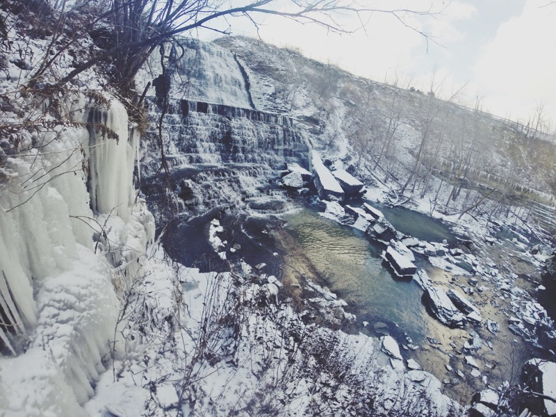
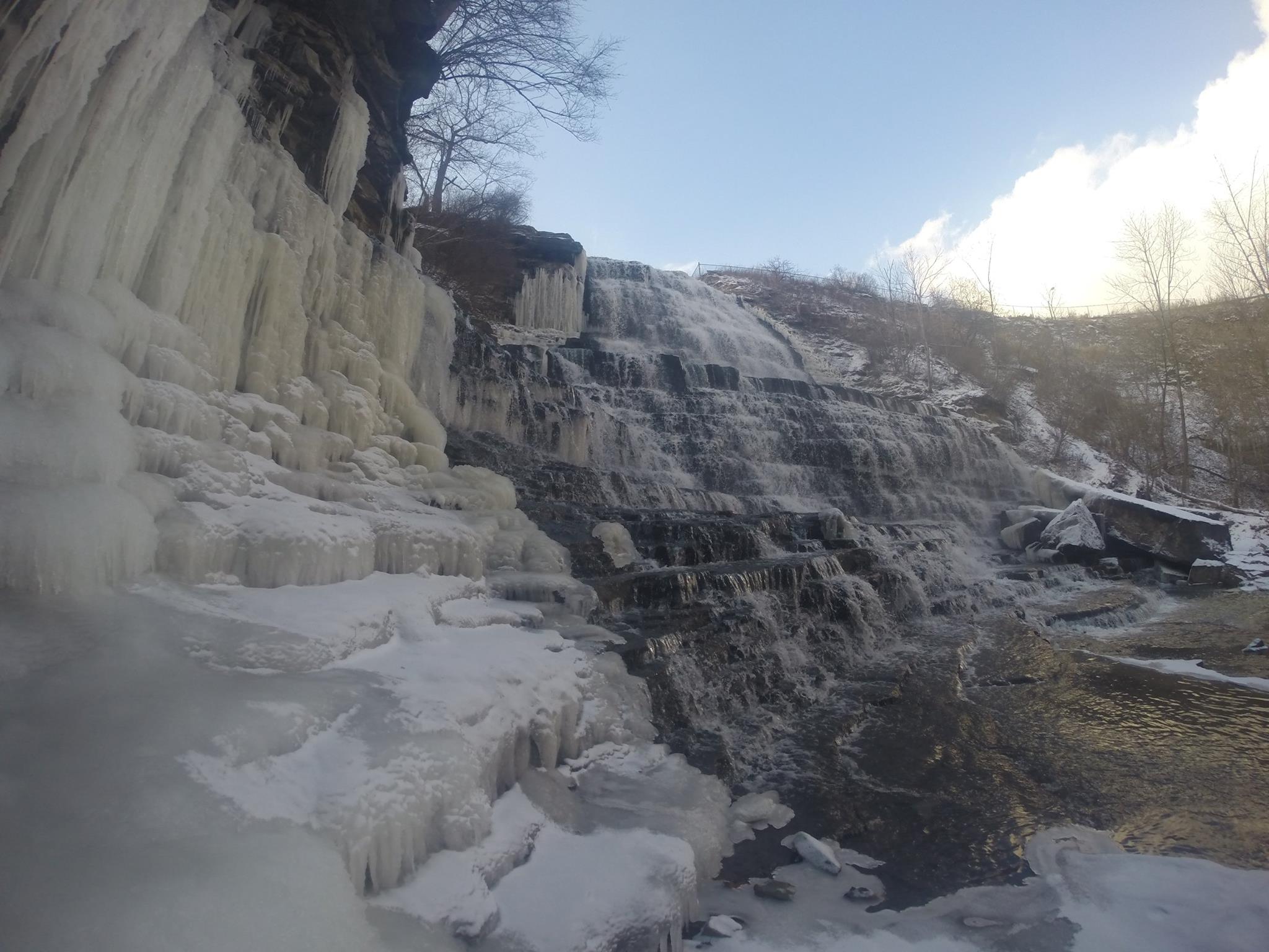
For it's staggered steps, beautiful cascade effect and rocks spread throughout the river, Albion Falls is my favourite waterfall. On a beautiful day, grab a friend, date or canine companion for this hike! 

Let's get started! 

From the parking lot further from the waterfall, head towards the trail. The trail will lead you down a hill where there will be a fork, turn left here and hike towards the river.

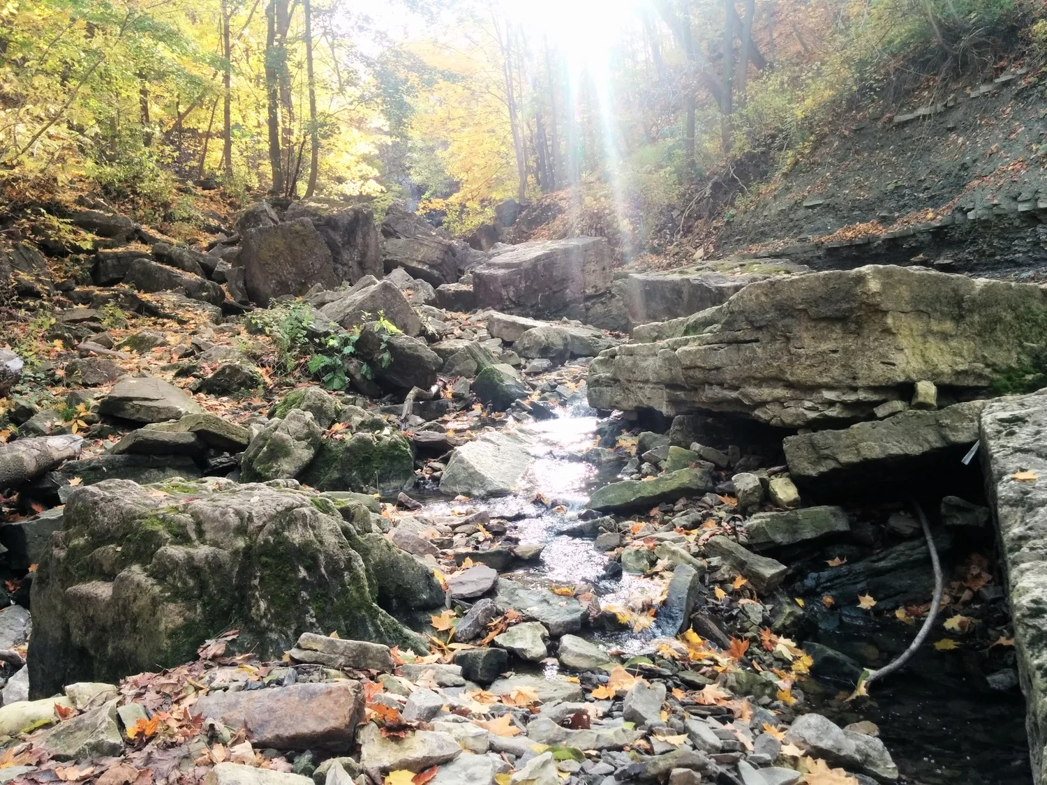
Follow the trail upstream until you reach the waterfall. Once you get there, use the rocks as stepping stones to cross the river. As a heads up, some of the rocks are unstable. I've slipped and fell in a few times before. 

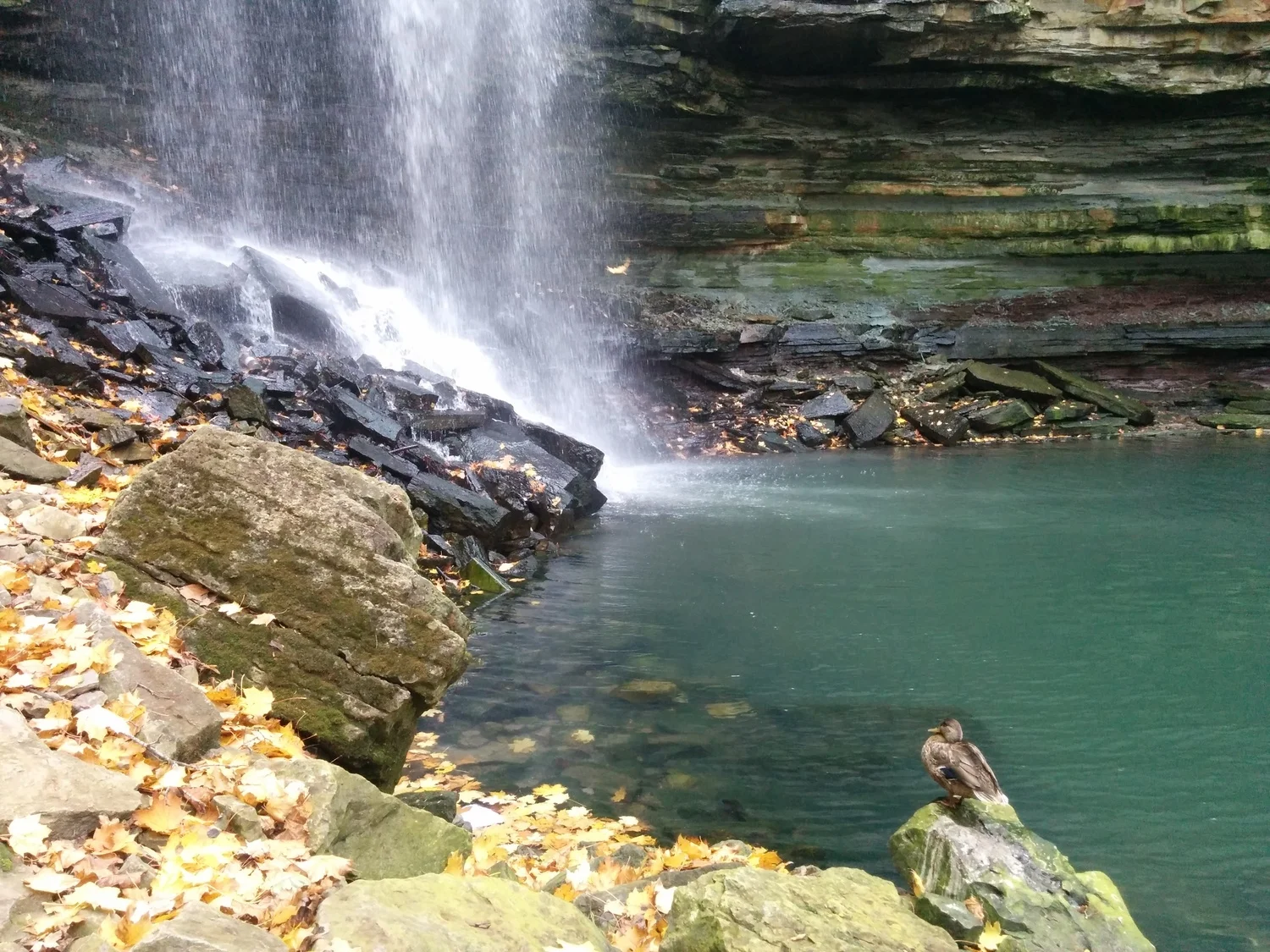
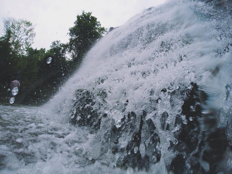
If you're on the right side of the falls, head up to relax on the large rocks and enjoy the view. If you're feeling adventurous, follow the path to the second level of the falls. Take off your shoes and head into the water to cool off. Although, it can get pretty slippery because of the algae in the water. 

Once you're back at the bottom, feel free to navigate yourself on the rocks to get around. Some of the larger rocks have fossilized fauna and shells on it. 

When you're ready to leave, head to the left side of the falls. Head up the trail and up the stairs to get back to the road. Follow the road back to the parking lot. 

Directions:

Exit on Stonechurch Road from Red Hill Valley Parkway. Turn right onto Stonechurch Rd. and then turn right onto Pritchard Rd. When you reach Mud St., there will be parking lots on either side. I usually turn left and park at the lot further from the falls. That's where the hiking trail is. 

NOTES:

  • There's two free parking lots: One closer to the falls and one closer to the trails. 
  • The trail is a bit more challenging because you'll need to climb over fallen trees and rocks.
  • The hike takes about 30 minutes - 1 hour. 
  • If you don't feel like hiking, but still want to check out the falls. Park at the lot closer to the falls and follow the short trail downhill towards the falls. You'll still get the same awesome view of the falls. 
  • The trail can get pretty muddy and slippery during the spring or after a big rainfall. 
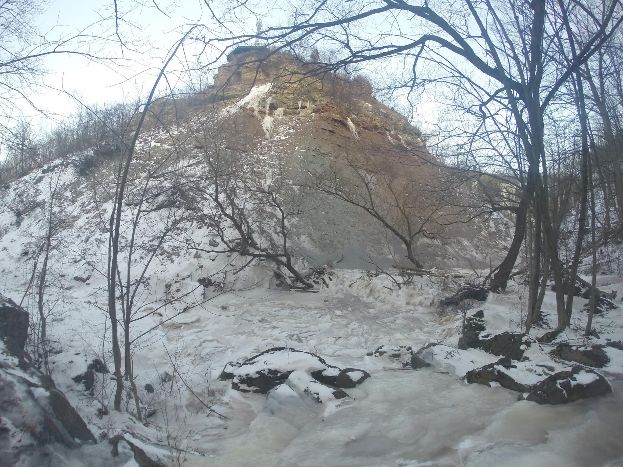
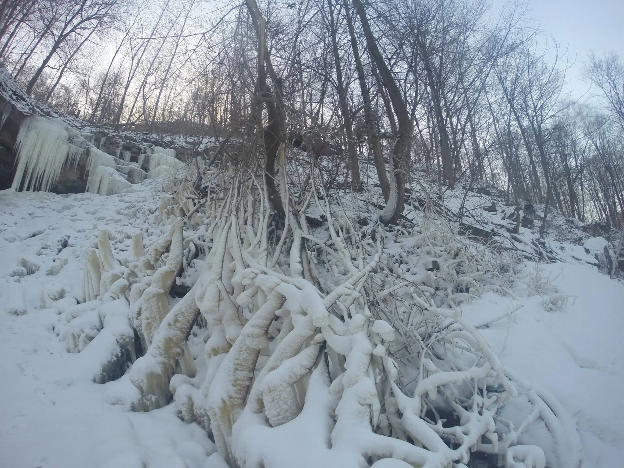
  • Check out the falls in the winter! 

EDIT - 2017: 

  • The trails are now closed off. You can only see the falls from the top. 

Happy Adventuring!