Microadventures

Upper, Middle and Lower Sydenham Falls in Hamilton

Up for short hike? You can see Upper, Middle and Lower Sydenham Falls in 30 minutes!

Let's Get Started

Park at Cascades Park and head up the gravel path. From the bridge, you can see Lower Sydenham Falls here. Don't fully cross the bridge, and head back to the left side of the stream. Head up the trail from here. 

Follow the trail

Check out the bridge before continuing the trail to the left

Lower Sydenham Falls

Lower Sydenham Falls

Keep left at the fork 

About half up, you'll see a small path on your right side that leads downhill. If you choose to, you can take this path down to Middle Sydenham Falls. 

Middle Sydenham Falls

Go back up to continue on the trail. You'll see a small set of stairs. At the top, take a right and continue on the trail. The trail will take you by the stream. Keep following it and you'll reach Upper Sydenham Falls

Upper Sydenham Falls from the base

Notes:

  • You can park on Livingstone Drive beside Cascades Park for free.
  • This hike takes only 30 minutes round-trip. 
  • Take a stroll across the bridge to the other side, the graffiti is actually kind of cool.

Happy Adventuring!

Fall Colours at Bon Echo

Fall Colours at Bon Echo

It's only during the fall when leaves paint the forest in an array of gorgeous colours. It's one of the most beautiful times to go hiking. 

We wanted to take advantage of that, so we headed out to Bon Echo Provincial Park for the day to enjoy the lovely coloured trees.  Located in Cloyne, Ontario, the park features over 260 pictographs painted on Marzinaw Rock. The only way to access them is either canoe over or take the boat tour.  Unfortunately, the boat tour wasn't running when I went and it was too cold and windy to canoe over. 
 

Petroglyphs and Warsaw Caves

Petroglyphs and Warsaw Caves

Even though the rain clouds followed us all day, we weren't going to let it stop us from enjoying the outdoors. Our first adventure of the day was Petroglyphs Provincial Park in Woodview, Ontario. This historical park holds the largest collection of ancient First Nation petroglyphs (rock carvings) in Ontario.

From displays, posters and videos, the park's visitor centre offers information about the petroglyphs and their spiritual meaning. After learning about the petroglyphs, you can head over to the protective building to view the cave drawings. From carvings of turtles to bears and thunderbird to boats, every petroglyph tells a different spiritual story. It's quite an interesting experience learn about this spiritual place.

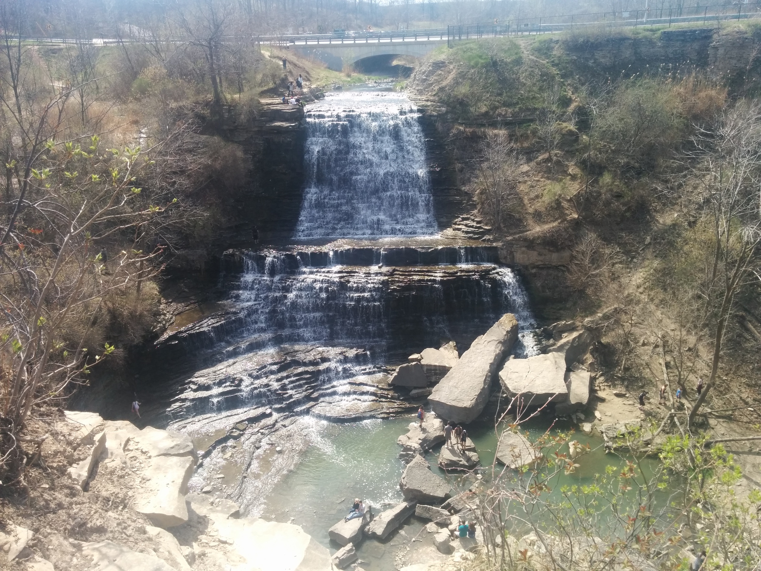
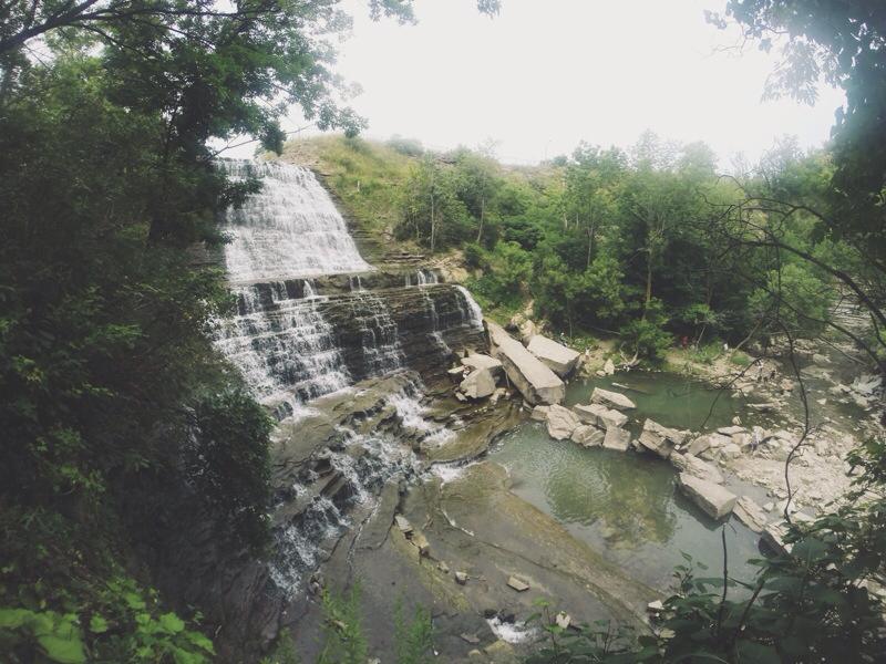
Albion Falls in Hamilton

For it's staggered steps, beautiful cascade effect and rocks spread throughout the river, Albion Falls is my favourite waterfall. On a beautiful day, grab a friend, date or canine companion for this hike! 

Let's get started! 

From the parking lot further from the waterfall, head towards the trail. The trail will lead you down a hill where there will be a fork, turn left here and hike towards the river.

Follow the trail upstream until you reach the waterfall. Once you get there, use the rocks as stepping stones to cross the river. As a heads up, some of the rocks are unstable. I've slipped and fell in a few times before. 

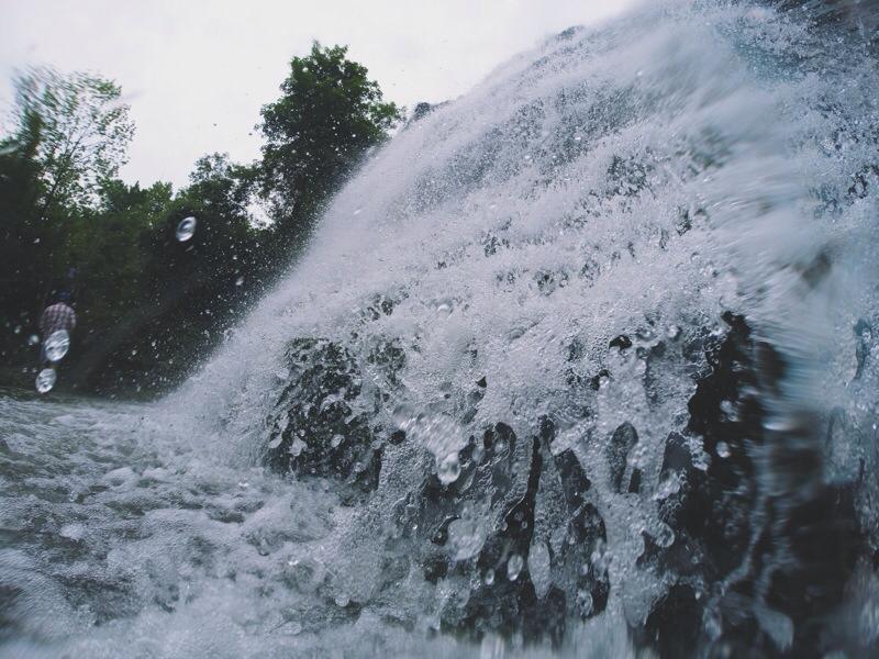
If you're on the right side of the falls, head up to relax on the large rocks and enjoy the view. If you're feeling adventurous, follow the path to the second level of the falls. Take off your shoes and head into the water to cool off. Although, it can get pretty slippery because of the algae in the water. 

Once you're back at the bottom, feel free to navigate yourself on the rocks to get around. Some of the larger rocks have fossilized fauna and shells on it. 

When you're ready to leave, head to the left side of the falls. Head up the trail and up the stairs to get back to the road. Follow the road back to the parking lot. 

Directions:

Exit on Stonechurch Road from Red Hill Valley Parkway. Turn right onto Stonechurch Rd. and then turn right onto Pritchard Rd. When you reach Mud St., there will be parking lots on either side. I usually turn left and park at the lot further from the falls. That's where the hiking trail is. 

NOTES:

  • There's two free parking lots: One closer to the falls and one closer to the trails. 
  • The trail is a bit more challenging because you'll need to climb over fallen trees and rocks.
  • The hike takes about 30 minutes - 1 hour. 
  • If you don't feel like hiking, but still want to check out the falls. Park at the lot closer to the falls and follow the short trail downhill towards the falls. You'll still get the same awesome view of the falls. 
  • The trail can get pretty muddy and slippery during the spring or after a big rainfall. 
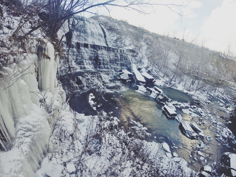
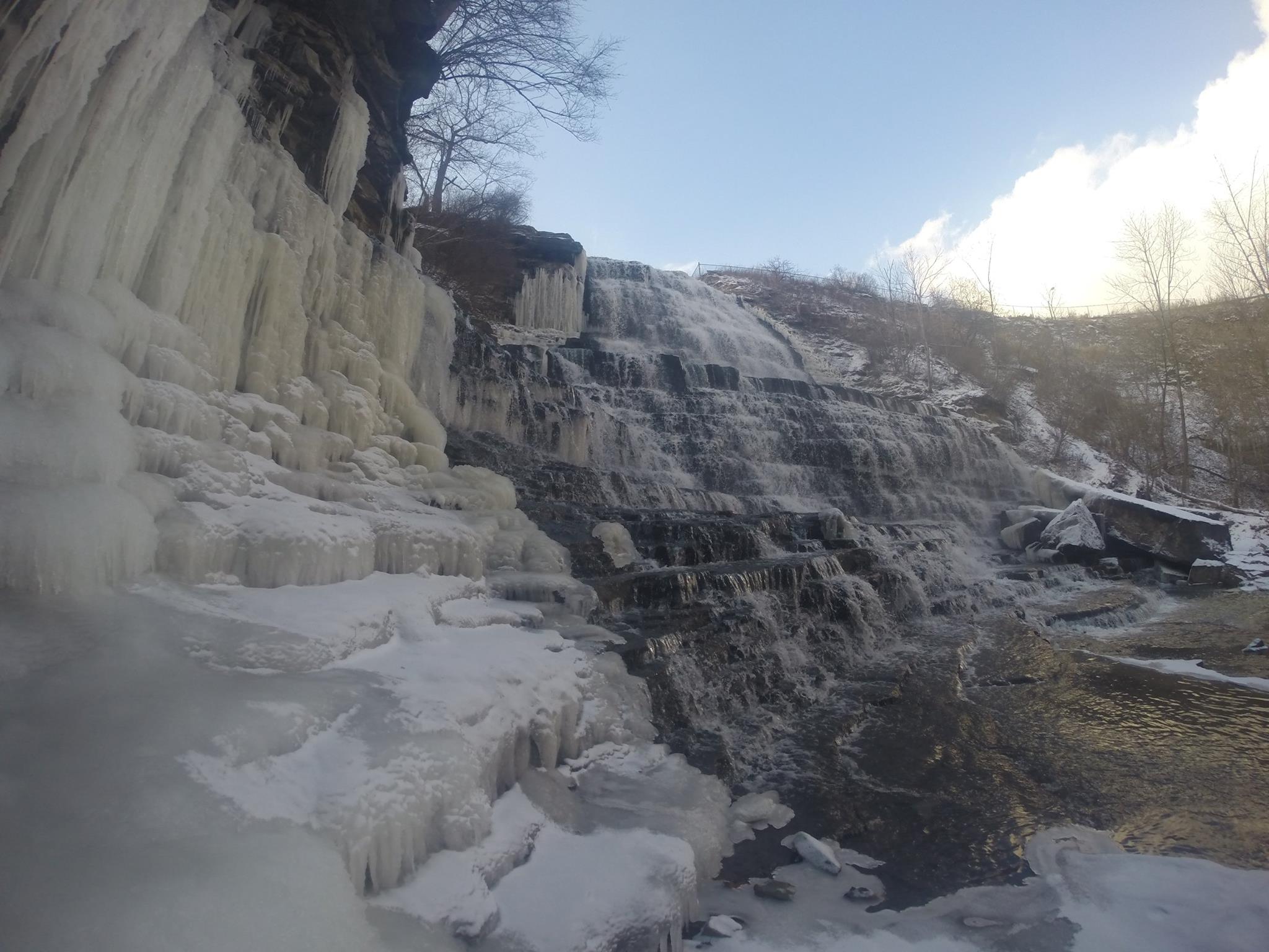
  • Check out the falls in the winter! 

EDIT - 2017: 

  • The trails are now closed off. You can only see the falls from the top. 

Happy Adventuring! 

Exploring Scenic Caves in Collingwood

A last-minute decision led us to head up North to Collingwood. From treetop canopy walks and ziplining, to caves and caverns, Scenic Caves offers a variety of activities for the adventurous soul. Since we have treetop trekked and ziplined before, we opted for the self-guided tour of the caves, caverns and suspension bridge. 

As Southern Ontario's longest suspension bridge, I thought it was rather underwhelming. When you walk to the other side of the bridge, you reach a dead end with a few picnic tables and boards of information about the suspension bridge. You need to head back if you want to participate in other activities.  However, the view was lovely since it overlooks the Georgian Bay.

Hiking through the caves and caverns was much more exciting. There's an easy trail to follow to visit the caves and caverns. They made it very safe by installing platforms and bars to hold onto for the rocky areas. You get spectacular lookouts from the edge of the limestone cliffs, a shady hike beneath the canopy of sugar maples and red oak as well as a chance to explore a labyrinth of caves and crevices. 

Things to know: 

  • Summer hours: 9 a.m. - 8 p.m.
  • Admission for caves and suspension bridge: $25.50 (total with tax) for adults
  • The hike takes about two hours
  • There are zipline packages and adventure tour packages available (reservations required)
  • It's very family friendly with activities like mini golf, gemstone mining and a children's adventure playground (which I was too old to go into) 
  • Tractor and wagon rides are provided to the suspension bridge area as an alternative to hiking
  • Check out their FAQs and website for more information! 

Happy Adventuring! 


From Rattlesnake Point to Crawford Lake

From Rattlesnake Point to Crawford Lake

Located in Milton, Ontario, Canada, Rattlesnake Point is an eco-tourism area owned by Halton Conservation. The top of the limestone cliffs offers a beautiful view overlooking Lowville Valley. The area offers excellent hiking trails, rock-climbing sites and camping sites. 

We hiked from Rattlesnake Point to Crawford Lake. The trail is about 15 kilometres and took us 4-5 hours roundtrip with a few breaks in-between for pictures and lunch. With the rolling hills, steep ascents and rocks everywhere, this as an intermediate hike.